Kerepehi Area, Kerepehi Postcode(3671) & Map in Kerepehi
Kerepehi Area, Kerepehi Postcode(3671) & Map in Kerepehi, Hauraki District, New Zealand
Kerepehi, Hauraki District, New Zealand
Kerepehi Postcodes
Kerepehi Area (estimated)
31.9 square kilometersKerepehi Population (estimated)
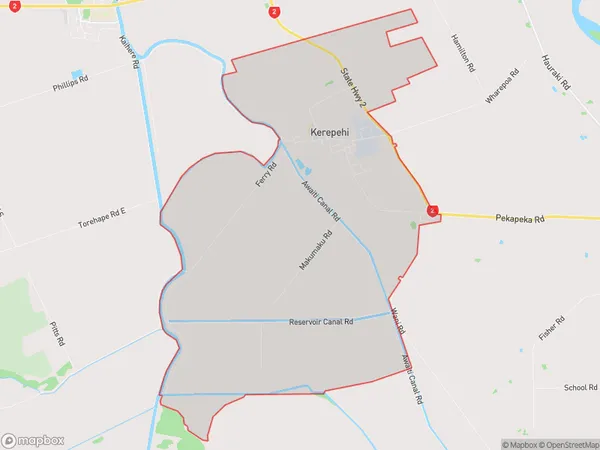
752 people live in Kerepehi, Waikato, NZKerepehi Suburb Area Map (Polygon)
Kerepehi Introduction
Kerepehi is a small town in the Waikato region of New Zealand, known for its beautiful beaches, lush green forests, and stunning natural scenery. It is a popular destination for tourists and locals alike, with a variety of activities to enjoy, including hiking, fishing, and kayaking. The town also has a rich cultural heritage, with a Maori community that has lived in the area for centuries.Region
Major City
Suburb Name
KerepehiOther Name(s)
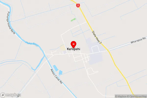
Awaiti NorthKerepehi Area Map (Street)
Local Authority
Hauraki DistrictFull Address
Kerepehi, Hauraki District, New ZealandAddress Type
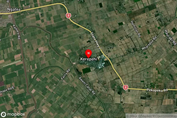
Locality in Town PaeroaKerepehi Suburb Map (Satellite)
Country
Main Region in AU
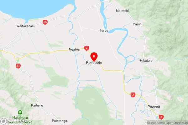
WaikatoKerepehi Region Map
Coordinates
-37.2971961,175.5441536 (latitude/longitude)Distances
The distance from Kerepehi, Paeroa, Hauraki District to NZ Top 10 Cities