Waiheke Island Suburbs & Region, Waiheke Island Map & Postcodes in Waiheke Island, Waiheke Island, Auckland
Waiheke Island Postcodes, Waiheke Island ZipCodes, Waiheke Island , Waiheke Island Auckland, Waiheke Island Suburbs, Waiheke Island Region, Waiheke Island Map, Waiheke Island Area
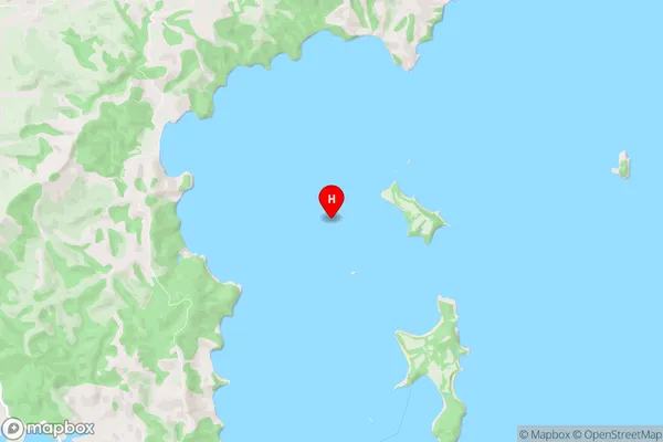
Waiheke Island Region (Cowes, Orapiu, Poukaraka Flats, Hauraki Gulf Region)
Waiheke Island Suburbs
Waiheke Island is a suburb place type in Waiheke Island, Auckland, NZ. It contains 7 suburbs or localities.Waiheke Island Postcodes
Waiheke Island Region Map
Waiheke Island Introduction
Waiheke Island is a volcanic island located in the Hauraki Gulf of New Zealand, approximately 30 minutes by ferry from Auckland. It is known for its stunning beaches, lush vineyards, and picturesque landscapes. The island has a population of around 9,000 people and is home to a variety of wildlife, including penguins, sea lions, and native birds. Waiheke Island is a popular destination for tourists and locals alike, with many activities to enjoy, including hiking, biking, wine tasting, and dining at local restaurants. The island also has a rich cultural heritage, with several historic sites and museums.Waiheke Island Region
Waiheke Island City
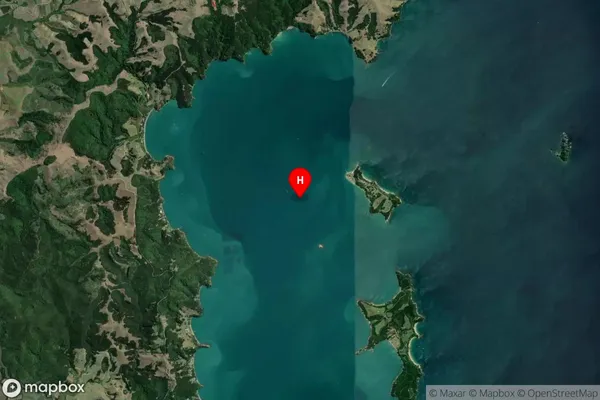
Waiheke Island Satellite Map
Full Address
Waiheke Island, Waiheke Island, AucklandWaiheke Island Coordinates
-36.797053,175.181305 (Latitude / Longitude)Waiheke Island Map in NZ
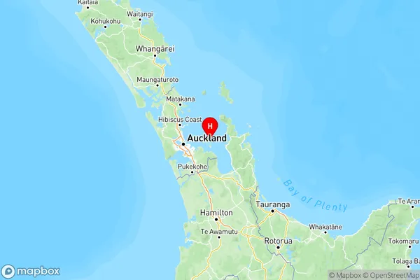
NZ Island
North IslandCountry
Waiheke Island Area Map (Polygon)
Not available for nowName
Waiheke IslandAdditional Name
Cowes, Orapiu, Poukaraka Flats, Hauraki GulfLocal Authority
Auckland
Waiheke Island Suburbs (Sort by Population)
Oneroa
Oneroa - 2326Ostend
Ostend - 2039Surfdale
Surfdale - 1961Onetangi
Onetangi - 1062Waiheke Island
Waiheke Island - 904Omiha
Omiha - 556Palm Beach
Palm Beach - 461