Omiha Area, Omiha Postcode(1971) & Map in Omiha
Omiha Area, Omiha Postcode(1971) & Map in Omiha, Auckland, New Zealand
Omiha, Auckland, New Zealand
Omiha Area (estimated)
0.9 square kilometersOmiha Population (estimated)
556 people live in Omiha, Waiheke, NZOmiha Suburb Area Map (Polygon)
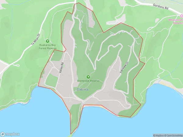
Omiha Introduction
Omiha is a small rural community on Waiheke Island, Auckland, New Zealand. It is known for its beautiful beaches, lush forests, and tranquil atmosphere. The community has a population of around 500 people and is located about 30 minutes by ferry from Auckland City. Omiha is a popular destination for tourists and locals alike, with many activities to enjoy, including hiking, biking, fishing, and kayaking. The area also has a number of restaurants and cafes, as well as a community hall and a library.Region
Major City
Suburb Name
Omiha (Maori Name: Ōmiha)Other Name(s)
Rocky BayOmiha Area Map (Street)
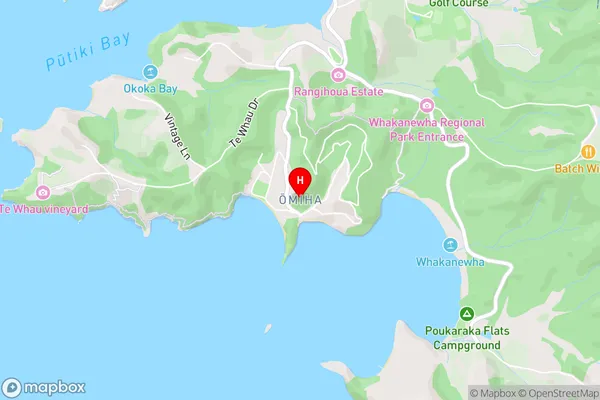
Local Authority
AucklandFull Address
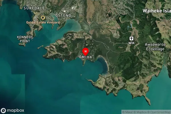
Omiha, Auckland, New ZealandAddress Type
Suburb in Town Waiheke IslandOmiha Suburb Map (Satellite)
Country
Main Region in AU
AucklandOmiha Region Map
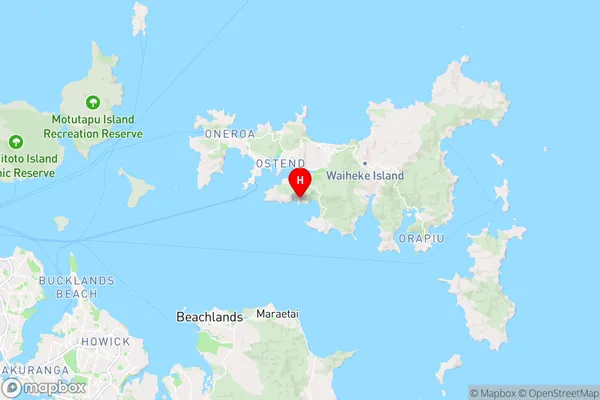
Coordinates
-36.8182003,175.0581901 (latitude/longitude)Distances
The distance from Omiha, Waiheke Island, Auckland to NZ Top 10 Cities