Waiheke Island Area, Waiheke Island Postcode(1081) & Map in Waiheke Island
Waiheke Island Area, Waiheke Island Postcode(1081) & Map in Waiheke Island, Auckland, New Zealand
Waiheke Island, Auckland, New Zealand
Waiheke Island Postcodes
Waiheke Island Area (estimated)
-1.2 square kilometersWaiheke Island Population (estimated)
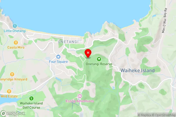
904 people live in Waiheke Island, Waiheke, NZWaiheke Island Suburb Area Map (Polygon)
Not available for nowWaiheke Island Introduction
Waiheke Island is a volcanic island in the Hauraki Gulf, 30 minutes by ferry from Auckland. It's known for its vineyards, olive trees, and beaches, with stunning views over the Auckland skyline. The island has a relaxed, hippy vibe and is popular with tourists and locals alike. It's also home to several animal sanctuaries, including the Waiheke Island Zoo.Region
Major City
Suburb Name
Waiheke IslandOther Name(s)
Cowes, Orapiu, Poukaraka Flats, Hauraki GulfWaiheke Island Area Map (Street)
Local Authority
AucklandFull Address
Waiheke Island, Auckland, New ZealandAddress Type
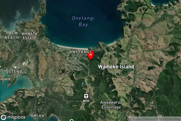
Island in Town Waiheke IslandWaiheke Island Suburb Map (Satellite)
Country
Main Region in AU
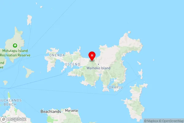
AucklandWaiheke Island Region Map
Coordinates
-36.79310825,175.088386337001 (latitude/longitude)Distances
The distance from Waiheke Island, Waiheke Island, Auckland to NZ Top 10 Cities