Ostend Area, Ostend Postcode(1081) & Map in Ostend
Ostend Area, Ostend Postcode(1081) & Map in Ostend, Auckland, New Zealand
Ostend, Auckland, New Zealand
Ostend Area (estimated)
4.9 square kilometersOstend Population (estimated)
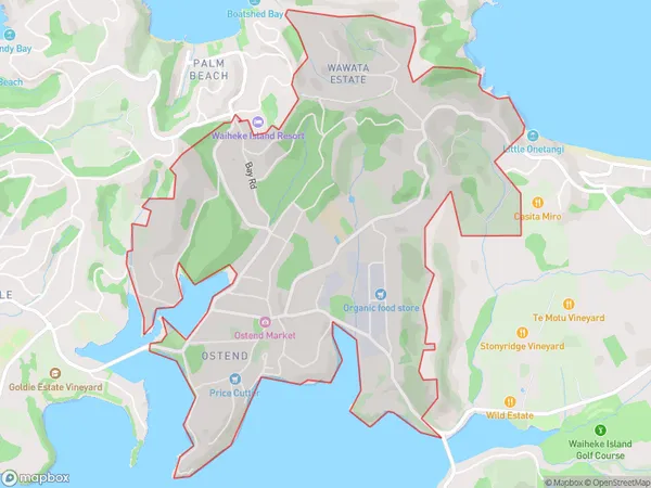
2039 people live in Ostend, Waiheke, NZOstend Suburb Area Map (Polygon)
Ostend Introduction
Ostend is a suburb of Auckland, New Zealand, located on the western side of Waiheke Island. It is known for its beautiful beaches, lush gardens, and vibrant community. The area has a rich history, with many historic buildings and landmarks, including the Ostend Lighthouse and the Ostend Museum. Ostend is a popular destination for tourists and locals alike, with plenty of restaurants, cafes, and shops to explore.Region
Major City
Suburb Name
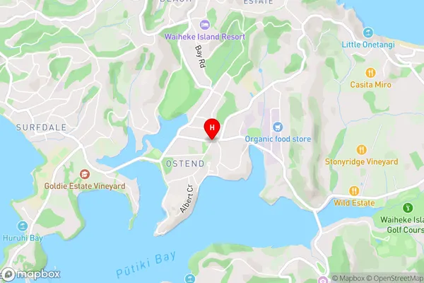
OstendOstend Area Map (Street)
Local Authority
AucklandFull Address
Ostend, Auckland, New ZealandAddress Type
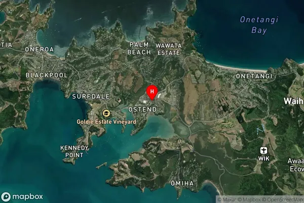
Suburb in Town Waiheke IslandOstend Suburb Map (Satellite)
Country
Main Region in AU
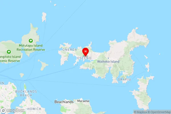
AucklandOstend Region Map
Coordinates
-36.7960232,175.0480079 (latitude/longitude)Distances
The distance from Ostend, Waiheke Island, Auckland to NZ Top 10 Cities