Onetangi Area, Onetangi Postcode(1971) & Map in Onetangi
Onetangi Area, Onetangi Postcode(1971) & Map in Onetangi, Auckland, New Zealand
Onetangi, Auckland, New Zealand
Onetangi Area (estimated)
3.3 square kilometersOnetangi Population (estimated)
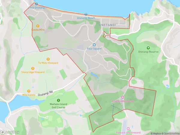
1062 people live in Onetangi, Waiheke, NZOnetangi Suburb Area Map (Polygon)
Onetangi Introduction
Onetangi is a beachside suburb on Waiheke Island, Auckland, New Zealand. It is known for its stunning beaches, lush gardens, and tranquil atmosphere. The area has a rich history and is home to several historic buildings, including the Onetangi Beach House and the Onetangi Golf Club. Onetangi is a popular destination for tourists and locals alike, with many activities to enjoy, including hiking, biking, fishing, and swimming.Region
Major City
Suburb Name
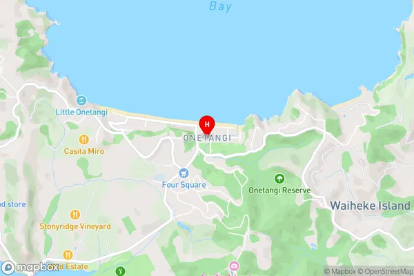
OnetangiOnetangi Area Map (Street)
Local Authority
AucklandFull Address
Onetangi, Auckland, New ZealandAddress Type
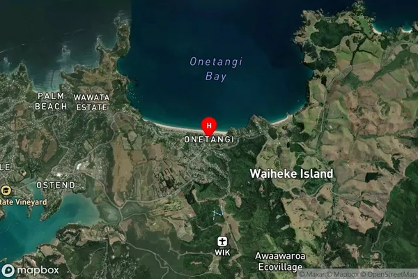
Suburb in Town Waiheke IslandOnetangi Suburb Map (Satellite)
Country
Main Region in AU
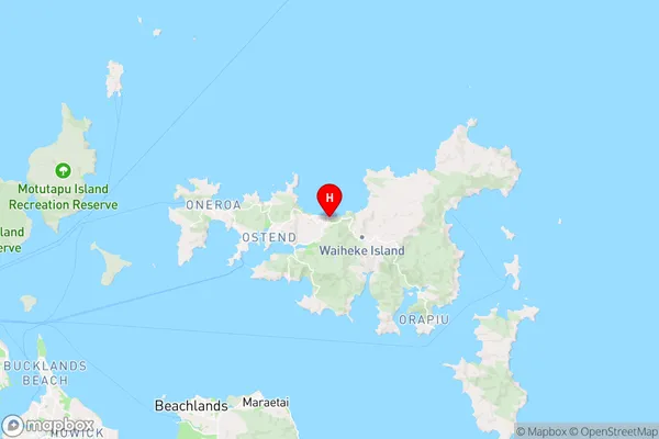
AucklandOnetangi Region Map
Coordinates
-36.7891861,175.0825819 (latitude/longitude)Distances
The distance from Onetangi, Waiheke Island, Auckland to NZ Top 10 Cities