Lumsden Suburbs & Region, Lumsden Map & Postcodes in Lumsden, Southland, Southland
Lumsden Postcodes, Lumsden ZipCodes, Lumsden , Lumsden Southland, Lumsden Suburbs, Lumsden Region, Lumsden Map, Lumsden Area
Lumsden Region
Lumsden Suburbs
Lumsden is a city place type in Southland, Southland, NZ. It contains 1 suburbs or localities.Lumsden district
SouthlandLumsden Introduction
Lumsden is a small town in Southland, New Zealand, located on the banks of the Clutha River. It is known for its scenic surroundings, including the Southern Alps and the Rakaia Gorge. The town has a population of around 300 people and is a popular destination for outdoor enthusiasts, with many hiking and skiing trails nearby. Lumsden also has a historic hotel, a golf course, and a community hall. The town was founded in 1865 by Scottish settler John Lumsden and was named after his hometown in Scotland.Lumsden Region
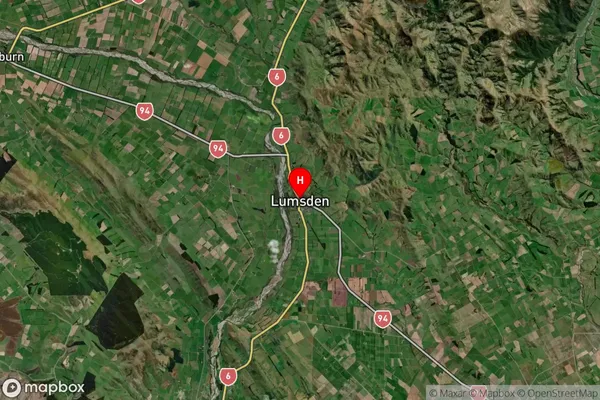
Lumsden Satellite Map

Full Address
Lumsden, Southland, SouthlandLumsden Coordinates
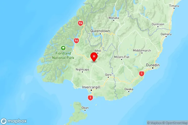
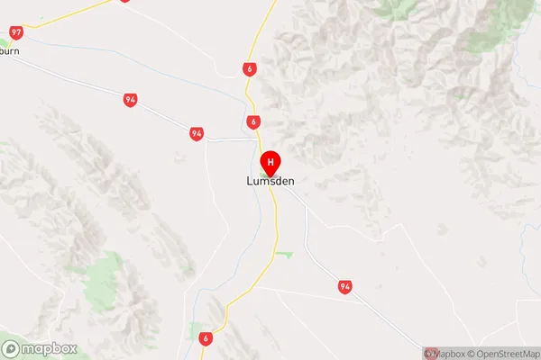
-45.738064,168.442557 (Latitude / Longitude)Lumsden Map in NZ

NZ Island
South IslandCountry
Lumsden Suburbs (Sort by Population)
Lumsden Suburbs (Sort in alphabetical)
Athol
