Lumsden Area, Lumsden Postcode(9730) & Map in Lumsden
Lumsden Area, Lumsden Postcode(9730) & Map in Lumsden, Southland District, New Zealand
Lumsden, Southland District, New Zealand
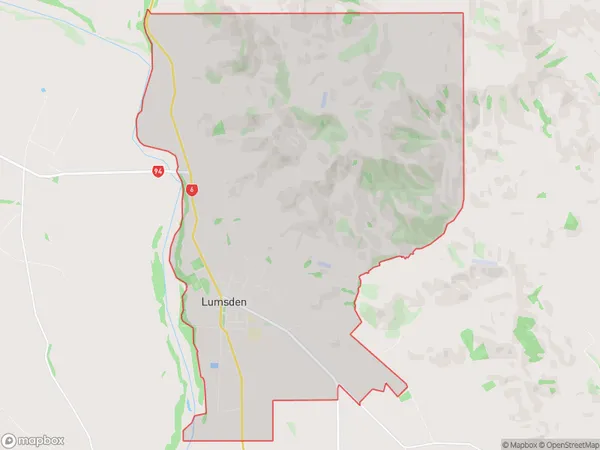
Lumsden Area (estimated)
43.8 square kilometersLumsden Population (estimated)
651 people live in Lumsden, Northern Community, NZLumsden Suburb Area Map (Polygon)
Lumsden Introduction
Lumsden is a small town in Southland, New Zealand, located on the banks of the Mataura River. It is known for its scenic surroundings, including the nearby Mount Aspiring National Park. The town has a population of around 1,000 people and is a popular destination for outdoor activities such as hiking, skiing, and fishing.Region
Major City
Suburb Name
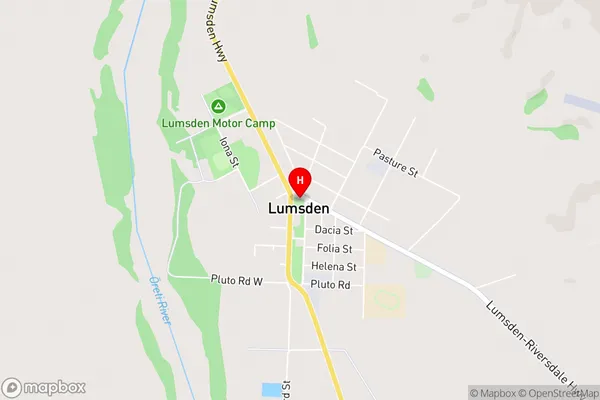
LumsdenLumsden Area Map (Street)
Local Authority
Southland DistrictFull Address
Lumsden, Southland District, New ZealandAddress Type
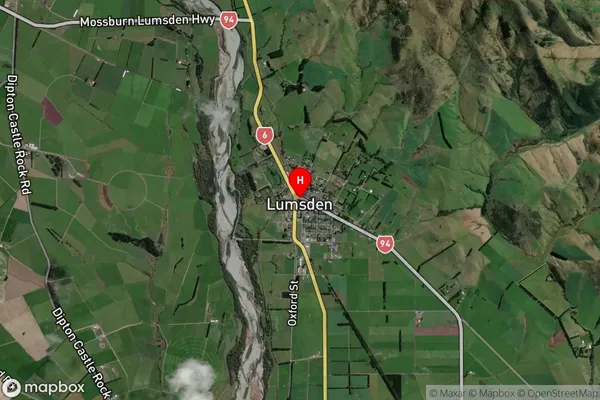
Suburb in Major Locality LumsdenLumsden Suburb Map (Satellite)
Country
Main Region in AU
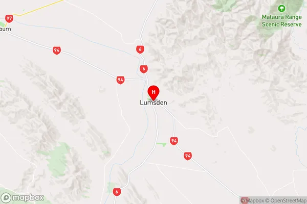
SouthlandLumsden Region Map
Coordinates
-45.7380636,168.4425566 (latitude/longitude)Distances
The distance from Lumsden, Lumsden, Southland District to NZ Top 10 Cities