Athol Suburbs & Region, Athol Map & Postcodes in Athol, Lumsden, Southland
Athol Postcodes, Athol ZipCodes, Athol , Athol Southland, Athol Suburbs, Athol Region, Athol Map, Athol Area
Athol Region
Athol Suburbs
Athol is a suburb place type in Lumsden, Southland, NZ. It contains 7 suburbs or localities.Athol Postcodes
Athol district
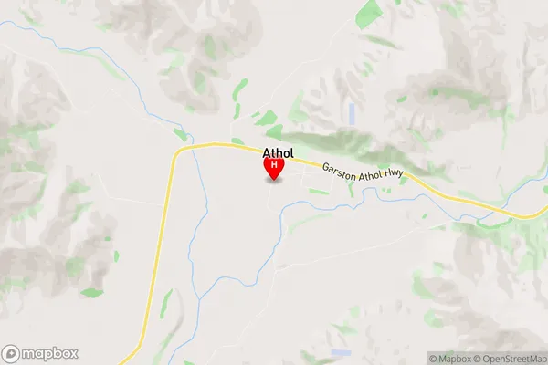
SouthlandAthol Region Map
Athol Introduction
Athol is a small town in Southland, New Zealand, located on the banks of the Mataura River. It is known for its historic buildings, including the Athol Hall, which was built in 1877. The town has a population of around 300 people and is a popular stopover for tourists traveling between Invercargill and Queenstown. The surrounding area is known for its farming and forestry, with many scenic walks and trails to explore.Athol Region
Athol City
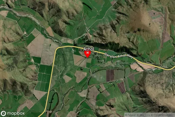
Athol Satellite Map
Full Address
Athol, Lumsden, SouthlandAthol Coordinates
-45.513379,168.573562 (Latitude / Longitude)Athol Map in NZ
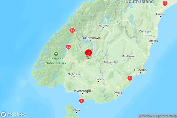
NZ Island
South IslandCountry
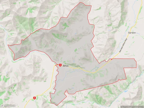
Athol Area Map (Polygon)
Name
AtholAdditional Name
Local Authority
Southland District