Parawa Area, Parawa Postcode & Map in Parawa
Parawa Area, Parawa Postcode & Map in Parawa, Southland District, New Zealand
Parawa, Southland District, New Zealand
Parawa Area (estimated)
204.6 square kilometersParawa Population (estimated)
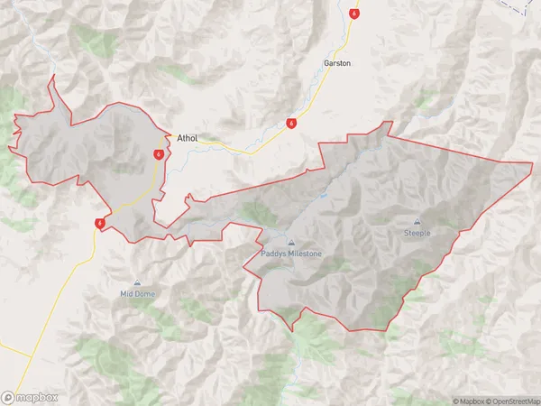
58 people live in Parawa, Northern Community, NZParawa Suburb Area Map (Polygon)
Parawa Introduction
Parawa is a small settlement in Southland, New Zealand, located on State Highway 6. It is known for its scenic beach and nearby Parawa Beach Airport, which offers regular flights to and from Invercargill. The area is popular with tourists and outdoor enthusiasts for its fishing, hiking, and kayaking opportunities.Region
Major City
Suburb Name
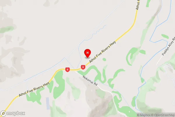
ParawaParawa Area Map (Street)
Local Authority
Southland DistrictFull Address
Parawa, Southland District, New ZealandAddress Type
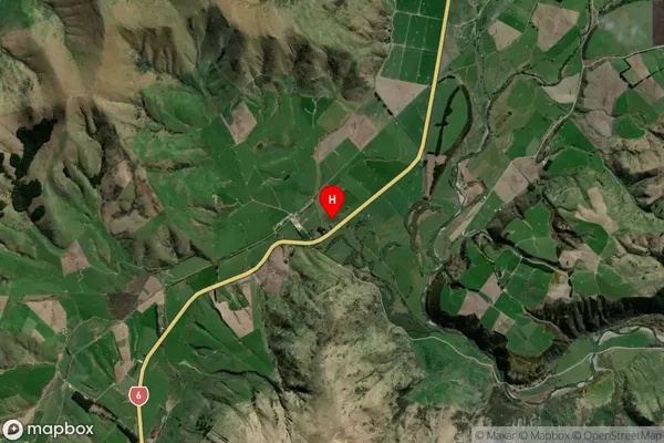
Locality in Major Locality AtholParawa Suburb Map (Satellite)
Country
Main Region in AU
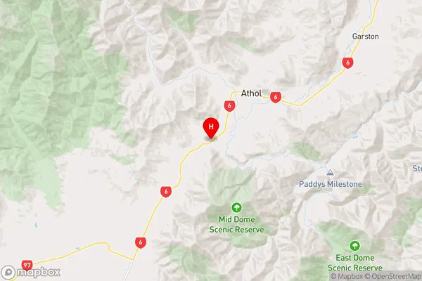
SouthlandParawa Region Map
Coordinates
-45.5419005,168.5348413 (latitude/longitude)Distances
The distance from Parawa, Athol, Southland District to NZ Top 10 Cities