Garston Area, Garston Postcode(9793) & Map in Garston
Garston Area, Garston Postcode(9793) & Map in Garston, Southland District, New Zealand
Garston, Southland District, New Zealand
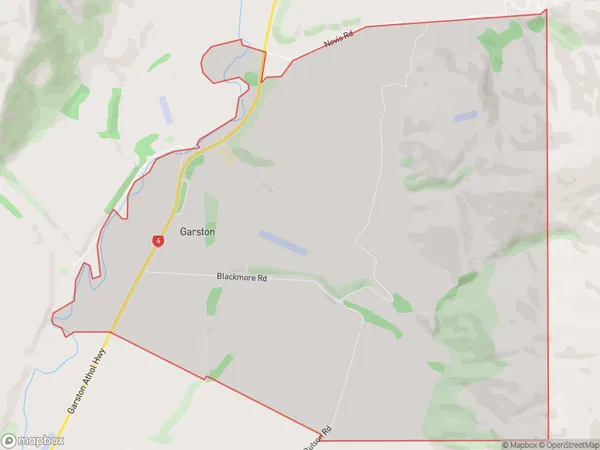
Garston Area (estimated)
15.6 square kilometersGarston Population (estimated)
39 people live in Garston, Northern Community, NZGarston Suburb Area Map (Polygon)
Garston Introduction
Garston is a small town in Southland, New Zealand, located on the banks of the Mataura River. It is known for its historic buildings and scenic surroundings, and is a popular tourist destination. The town was founded in 1865 and has a population of around 500 people.Region
Major City
Suburb Name
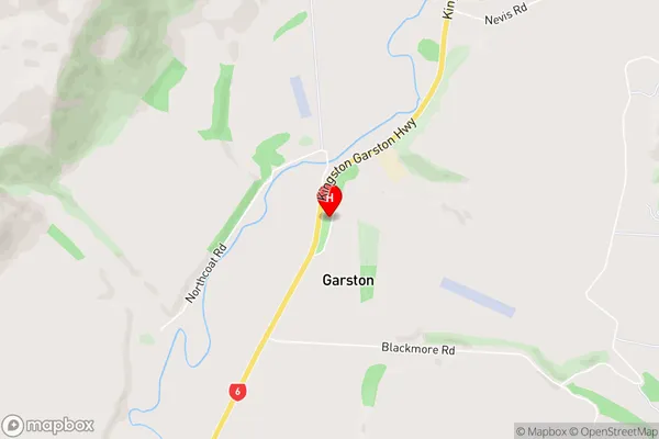
GarstonGarston Area Map (Street)
Local Authority
Southland DistrictFull Address
Garston, Southland District, New ZealandAddress Type
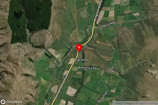
Locality in Major Locality AtholGarston Suburb Map (Satellite)
Country
Main Region in AU
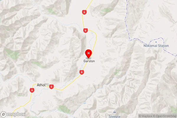
SouthlandGarston Region Map
Coordinates
-45.4671892,168.6842791 (latitude/longitude)Distances
The distance from Garston, Athol, Southland District to NZ Top 10 Cities