Nokomai Area, Nokomai Postcode(9793) & Map in Nokomai
Nokomai Area, Nokomai Postcode(9793) & Map in Nokomai, Southland District, New Zealand
Nokomai, Southland District, New Zealand
Nokomai Postcodes
Nokomai Area (estimated)
12.7 square kilometersNokomai Population (estimated)
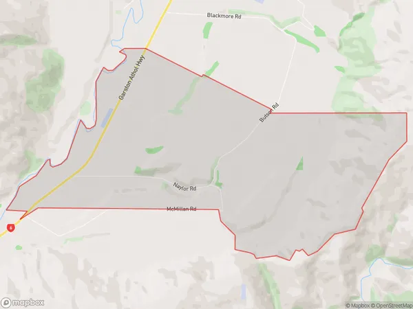
13 people live in Nokomai, Northern Community, NZNokomai Suburb Area Map (Polygon)
Nokomai Introduction
Nokomai is a small rural community in Southland, New Zealand. It is located on the banks of the Nokomai River, 22 km southeast of Athol and 132 km southwest of Invercargill. The area was first settled by Māori in the 13th century and was known for its rich forestry and fishing industries. Today, Nokomai is a popular tourist destination and home to a number of historic buildings and landmarks.Region
Major City
Suburb Name
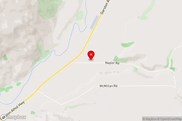
NokomaiNokomai Area Map (Street)
Local Authority
Southland DistrictFull Address
Nokomai, Southland District, New ZealandAddress Type
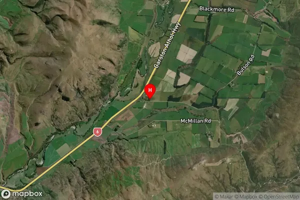
Locality in Major Locality AtholNokomai Suburb Map (Satellite)
Country
Main Region in AU
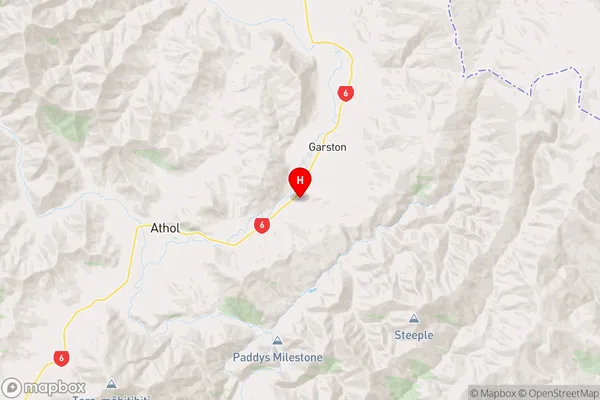
SouthlandNokomai Region Map
Coordinates
-45.4960718,168.6668237 (latitude/longitude)Distances
The distance from Nokomai, Athol, Southland District to NZ Top 10 Cities