Castlerock Area, Castlerock Postcode & Map in Castlerock
Castlerock Area, Castlerock Postcode & Map in Castlerock, Southland District, New Zealand
Castlerock, Southland District, New Zealand
Castlerock Area (estimated)
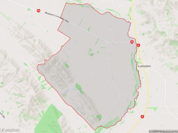
105.4 square kilometersCastlerock Population (estimated)
122 people live in Castlerock, Northern Community, NZCastlerock Suburb Area Map (Polygon)
Castlerock Introduction
Castlerock is a small rural town in Southland, New Zealand. It is located on the banks of the Mataura River and is known for its scenic views and historic buildings. The town has a population of around 500 people and is a popular tourist destination. The nearby Mount Maunganui is a popular surfing destination, and the town is also home to a number of wineries and breweries.Region
Major City
Suburb Name
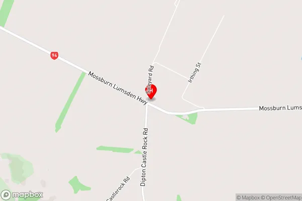
CastlerockCastlerock Area Map (Street)
Local Authority
Southland DistrictFull Address
Castlerock, Southland District, New ZealandAddress Type
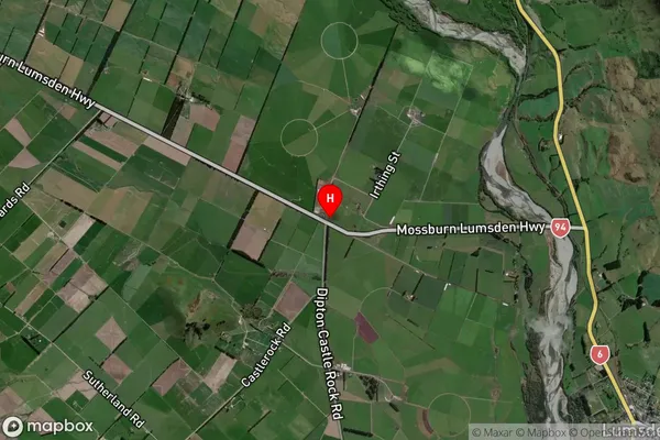
Locality in Major Locality LumsdenCastlerock Suburb Map (Satellite)
Country
Main Region in AU
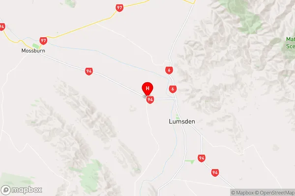
SouthlandCastlerock Region Map
Coordinates
-45.7156629,168.394382 (latitude/longitude)Distances
The distance from Castlerock, Lumsden, Southland District to NZ Top 10 Cities