Lintley Area, Lintley Postcode(9730) & Map in Lintley
Lintley Area, Lintley Postcode(9730) & Map in Lintley, Southland District, New Zealand
Lintley, Southland District, New Zealand
Lintley Postcodes
Lintley Area (estimated)
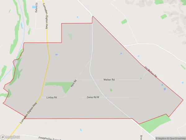
22.6 square kilometersLintley Population (estimated)
53 people live in Lintley, Northern Community, NZLintley Suburb Area Map (Polygon)
Lintley Introduction
Lintley is a small rural community in Southland, New Zealand. It is located on the banks of the Lumsden River and is surrounded by stunning natural scenery. The community has a strong farming heritage and is known for its delicious produce, including strawberries, apples, and cherries. Lintley also has a historic church and a variety of recreational facilities, including a golf course and a swimming pool.Region
Major City
Suburb Name
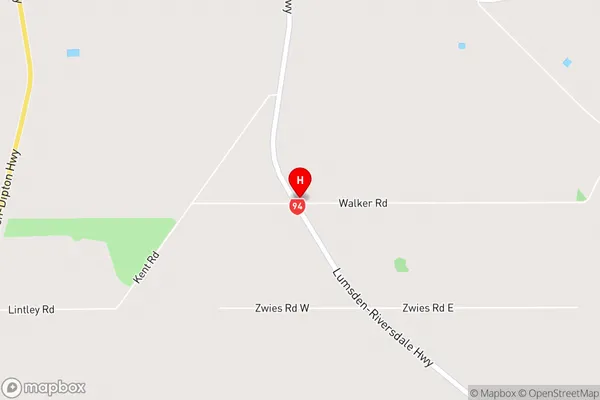
LintleyLintley Area Map (Street)
Local Authority
Southland DistrictFull Address
Lintley, Southland District, New ZealandAddress Type
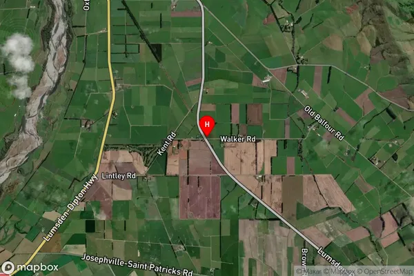
Locality in Major Locality LumsdenLintley Suburb Map (Satellite)
Country
Main Region in AU
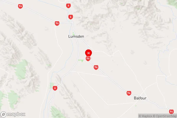
SouthlandLintley Region Map
Coordinates
-45.7753057,168.4712219 (latitude/longitude)Distances
The distance from Lintley, Lumsden, Southland District to NZ Top 10 Cities