Barnhill Area, Barnhill Postcode & Map in Barnhill
Barnhill Area, Barnhill Postcode & Map in Barnhill, Southland District,
Barnhill, Southland District,
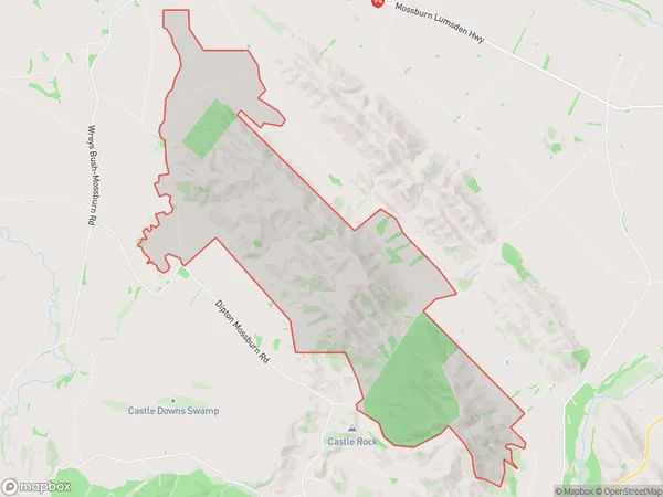
Barnhill Area (estimated)
67.0 square kilometersBarnhill Population (estimated)
26 people live in Barnhill, Lumsden, NZBarnhill Suburb Area Map (Polygon)
Barnhill Introduction
Barnhill is a small rural community in Southland, New Zealand. It is located on the banks of the Mataura River, 12 kilometers southeast of Lumsden. The area was first settled in the 1860s by Scottish settlers and is known for its scenic countryside and historic buildings. The community has a primary school, a post office, and a small supermarket.Region
Major City
Suburb Name
BarnhillBarnhill Area Map (Street)
Local Authority
Southland DistrictFull Address
Barnhill, Southland District,Address Type
Locality in Major Locality LumsdenBarnhill Suburb Map (Satellite)
Country
Main Region in AU
SouthlandBarnhill Region Map
Coordinates
0,0 (latitude/longitude)Distances
The distance from Barnhill, Lumsden, Southland District to NZ Top 10 Cities