Mosgiel Suburbs & Region, Mosgiel Map & Postcodes in Mosgiel, Dunedin City, Otago
Mosgiel Postcodes, Mosgiel ZipCodes, Mosgiel , Mosgiel Otago, Mosgiel Suburbs, Mosgiel Region, Mosgiel Map, Mosgiel Area
Mosgiel Region (Cottleston Estate, Janefield, Wingatui, Wyllies Crossing Region)
Mosgiel Suburbs
Mosgiel is a suburb place type in Dunedin City, Otago, NZ. It contains 10 suburbs or localities.Mosgiel Region Map
Mosgiel Introduction
Mosgiel is a small town in Otago, New Zealand, located on the Taieri River. It is known for its beautiful beaches, scenic walks, and friendly community. The town has a population of around 10,000 people and is a popular destination for tourists and outdoor enthusiasts. It is also home to a number of historic buildings, including the Taieri Power Station and the Taieri River Railway Station.Mosgiel Region
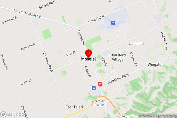
Mosgiel City
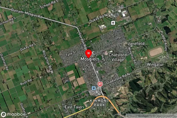
Mosgiel Satellite Map
Full Address
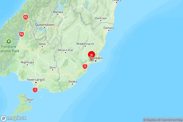
Mosgiel, Dunedin City, OtagoMosgiel Coordinates
-45.874983,170.347348 (Latitude / Longitude)Mosgiel Map in NZ
NZ Island
South IslandCountry
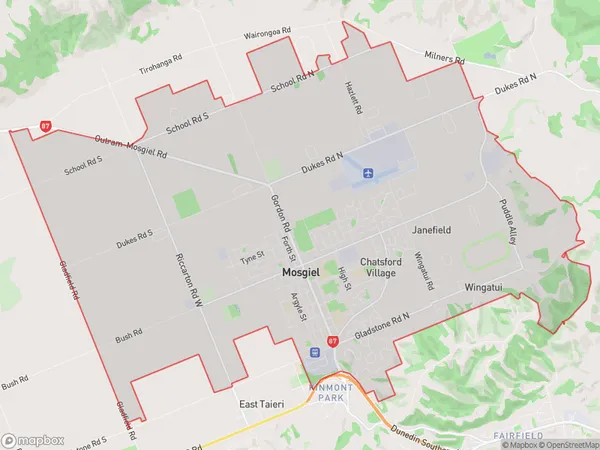
Mosgiel Area Map (Polygon)
Name
MosgielAdditional Name
Cottleston Estate, Janefield, Wingatui, Wyllies CrossingLocal Authority
Dunedin City
Mosgiel Suburbs (Sort by Population)
Mosgiel
Mosgiel - 13733East Taieri
East Taieri - 763North Taieri
North Taieri - 735Kinmont Park
Kinmont Park - 702Allanton
Allanton - 442Momona
Momona - 335Henley
Henley - 187Riverside
Riverside - 62Titri
Titri - 47Owhiro
Owhiro - 13