Allanton Area, Allanton Postcode(9054) & Map in Allanton
Allanton Area, Allanton Postcode(9054) & Map in Allanton, Dunedin City, New Zealand
Allanton, Dunedin City, New Zealand
Allanton Postcodes
Allanton Area (estimated)
34.3 square kilometersAllanton Population (estimated)
442 people live in Allanton, Otago, NZAllanton Suburb Area Map (Polygon)
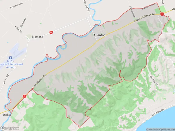
Allanton Introduction
Allanton is a small rural community in Mosgiel, Otago, New Zealand. It is located on State Highway 1, approximately 10 kilometers south of Dunedin, and has a population of around 100 people. The area is known for its scenic views, including the Taieri River and the surrounding mountains. Allanton has a primary school, a post office, and a small supermarket. The community is also home to a variety of recreational facilities, including a golf course and a sports club.Region
Major City
Suburb Name
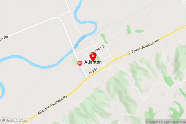
AllantonAllanton Area Map (Street)
Local Authority
Dunedin CityFull Address
Allanton, Dunedin City, New ZealandAddress Type
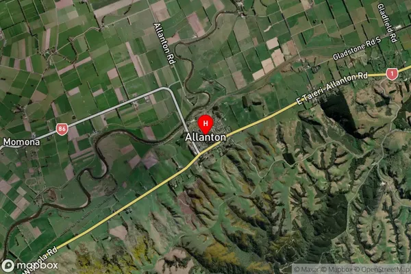
Locality in Town MosgielAllanton Suburb Map (Satellite)
Country
Main Region in AU
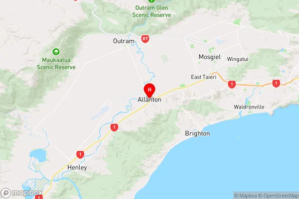
OtagoAllanton Region Map
Coordinates
-45.9160274,170.2644317 (latitude/longitude)Distances
The distance from Allanton, Mosgiel, Dunedin City to NZ Top 10 Cities