Titri Area, Titri Postcode & Map in Titri
Titri Area, Titri Postcode & Map in Titri, Clutha District, New Zealand
Titri, Clutha District, New Zealand
Titri Area (estimated)
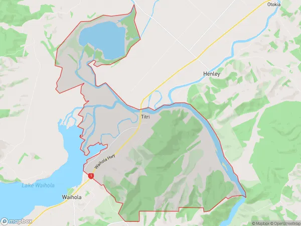
32.0 square kilometersTitri Population (estimated)
47 people live in Titri, Otago, NZTitri Suburb Area Map (Polygon)
Titri Introduction
Titri is a small rural community in Mosgiel, Otago, New Zealand. It is located on the Taieri River, 12 km south of Dunedin, and has a population of around 100 people. The community is known for its scenic surroundings, including the Taieri River and the surrounding hills. Titri has a primary school, a post office, and a small store. The area is popular with outdoor enthusiasts, with many opportunities for hiking, fishing, and hunting.Region
Major City
Suburb Name
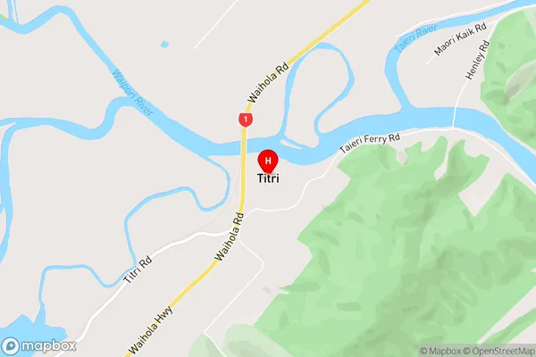
TitriTitri Area Map (Street)
Local Authority
Clutha DistrictFull Address
Titri, Clutha District, New ZealandAddress Type
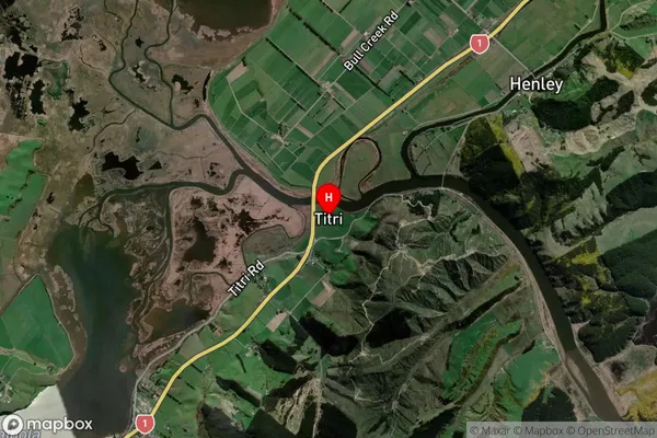
Locality in Town MosgielTitri Suburb Map (Satellite)
Country
Main Region in AU
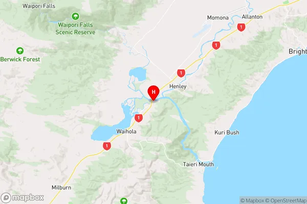
OtagoTitri Region Map
Coordinates
-45.9958728,170.1319555 (latitude/longitude)Distances
The distance from Titri, Mosgiel, Clutha District to NZ Top 10 Cities