Henley Area, Henley Postcode(9054) & Map in Henley
Henley Area, Henley Postcode(9054) & Map in Henley, Dunedin City, New Zealand
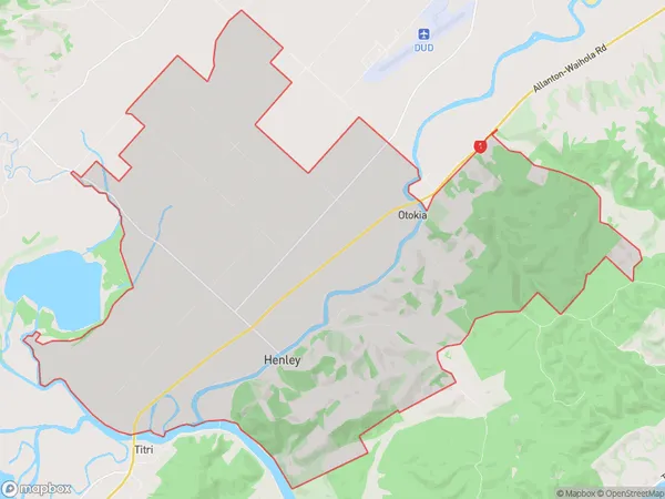
Henley, Dunedin City, New Zealand
Henley Postcodes
Henley Area (estimated)
54.3 square kilometersHenley Population (estimated)
187 people live in Henley, Otago, NZHenley Suburb Area Map (Polygon)
Henley Introduction
Henley is a small rural town in Mosgiel, Otago, New Zealand. It is located on the banks of the Henley River and is known for its scenic views, outdoor activities, and friendly community. The town has a population of around 2,000 people and is surrounded by farmland and picturesque countryside.Region
Major City
Suburb Name
HenleyOther Name(s)
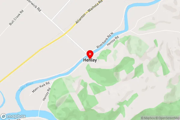
Otokia, West TaieriHenley Area Map (Street)
Local Authority
Dunedin CityFull Address
Henley, Dunedin City, New ZealandAddress Type
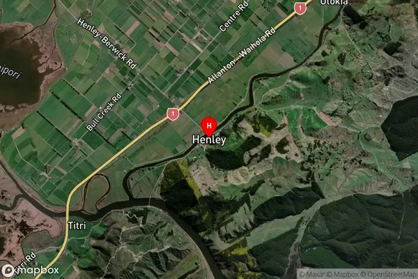
Locality in Town MosgielHenley Suburb Map (Satellite)
Country
Main Region in AU
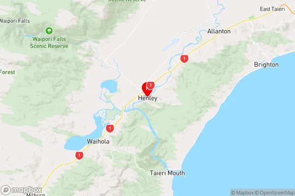
OtagoHenley Region Map
Coordinates
-45.9811483,170.164514 (latitude/longitude)Distances
The distance from Henley, Mosgiel, Dunedin City to NZ Top 10 Cities