East Taieri Area, East Taieri Postcode(9053) & Map in East Taieri
East Taieri Area, East Taieri Postcode(9053) & Map in East Taieri, Dunedin City, New Zealand
East Taieri, Dunedin City, New Zealand
East Taieri Area (estimated)
6.3 square kilometersEast Taieri Population (estimated)
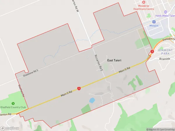
763 people live in East Taieri, Otago, NZEast Taieri Suburb Area Map (Polygon)
East Taieri Introduction
East Taieri is a small rural community located in the Taieri Plains of Otago, New Zealand. It is known for its picturesque scenery, including rolling hills, farmland, and the Taieri River. The community has a population of around 300 people and is home to a primary school, a church, and a few small businesses. East Taieri is a popular destination for outdoor enthusiasts, with many opportunities for hiking, cycling, and fishing. The area is also home to a number of historic buildings, including the Taieri Gorge Railway and the Taieri River Bridge.Region
Major City
Suburb Name
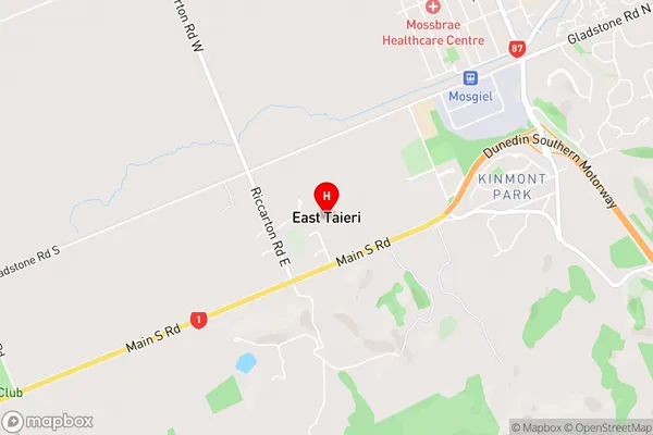
East TaieriEast Taieri Area Map (Street)
Local Authority
Dunedin CityFull Address
East Taieri, Dunedin City, New ZealandAddress Type
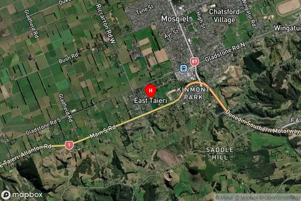
Suburb in Town MosgielEast Taieri Suburb Map (Satellite)
Country
Main Region in AU
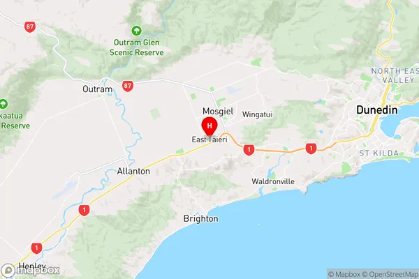
OtagoEast Taieri Region Map
Coordinates
-45.8944255,170.3390508 (latitude/longitude)Distances
The distance from East Taieri, Mosgiel, Dunedin City to NZ Top 10 Cities