Mosgiel Area, Mosgiel Postcode(9053) & Map in Mosgiel
Mosgiel Area, Mosgiel Postcode(9053) & Map in Mosgiel, Dunedin City, New Zealand
Mosgiel, Dunedin City, New Zealand
Mosgiel Area (estimated)
42.6 square kilometersMosgiel Population (estimated)
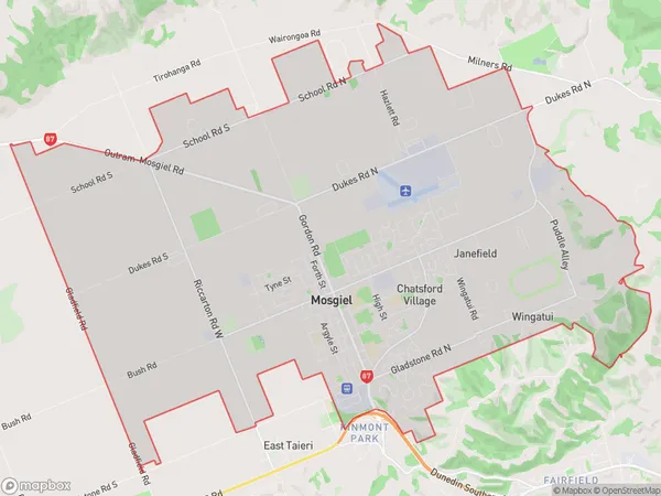
13733 people live in Mosgiel, Otago, NZMosgiel Suburb Area Map (Polygon)
Mosgiel Introduction
Mosgiel is a small town in Otago, New Zealand, located on the Taieri River. It is known for its beautiful gardens, historic buildings, and outdoor activities such as skiing and fishing. The town has a population of around 6,000 people and is a popular tourist destination.Region
Major City
Suburb Name
MosgielOther Name(s)
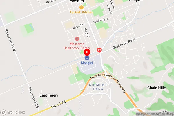
Cottleston Estate, Janefield, Wingatui, Wyllies CrossingMosgiel Area Map (Street)
Local Authority
Dunedin CityFull Address
Mosgiel, Dunedin City, New ZealandAddress Type
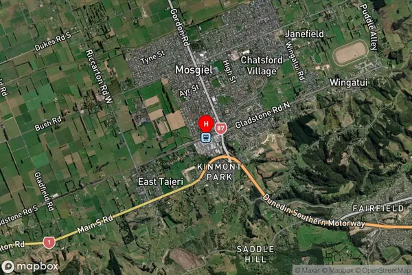
Suburb in Town MosgielMosgiel Suburb Map (Satellite)
Country
Main Region in AU
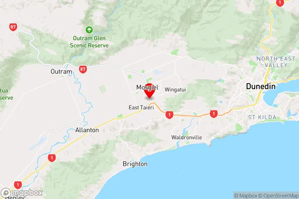
OtagoMosgiel Region Map
Coordinates
-45.8867669,170.3504083 (latitude/longitude)Distances
The distance from Mosgiel, Mosgiel, Dunedin City to NZ Top 10 Cities