Twizel Suburbs & Region, Twizel Map & Postcodes in Twizel, Mackenzie, Canterbury
Twizel Postcodes, Twizel ZipCodes, Twizel , Twizel Canterbury, Twizel Suburbs, Twizel Region, Twizel Map, Twizel Area
Twizel Region
Twizel Suburbs
Twizel is a city place type in Mackenzie, Canterbury, NZ. It contains 7 suburbs or localities.Twizel district
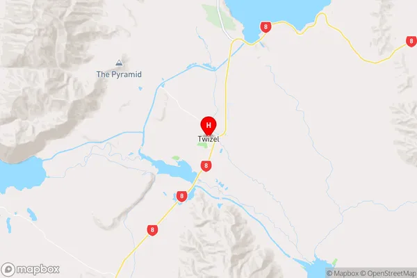
MackenzieTwizel Region Map
Twizel Introduction
Twizel is a town in the Canterbury region of New Zealand, located 25 kilometers south of the regional capital, Christchurch. It is known for its fertile farmland and as the gateway to the Mackenzie Basin, a region renowned for its scenic landscapes and outdoor activities. Twizel is home to a variety of attractions, including the Twizel Ice Stadium, which hosts ice hockey and figure skating events, and the Twizel Museum, which showcases the history and culture of the area. The town also has a number of hotels and restaurants, making it a popular destination for tourists and locals alike.Twizel Region
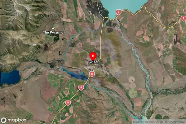
Twizel Satellite Map
Full Address
Twizel, Mackenzie, CanterburyTwizel Coordinates
-44.257483,170.099414 (Latitude / Longitude)Twizel Map in NZ
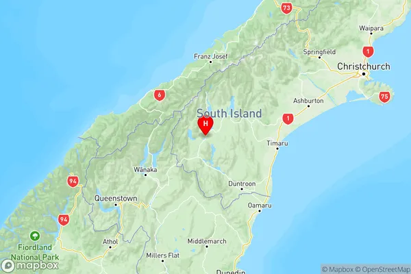
NZ Island
South IslandCountry
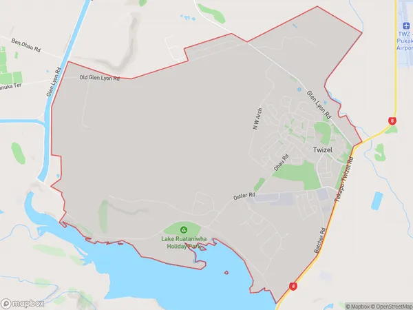
Twizel Area Map (Polygon)
Name
TwizelAdditional Name
Local Authority
Mackenzie District
Twizel Suburbs (Sort by Population)
Twizel
Twizel - 1771Ben Ohau
Ben Ohau - 180Glenbrook
Glenbrook - 21Hopkins Valley
Hopkins Valley - 20Glentanner
Glentanner - 12Totara Peak
Totara Peak - 5Dobson Valley
Dobson Valley - 3