Hopkins Valley Area, Hopkins Valley Postcode & Map in Hopkins Valley, Mackenzie District
Hopkins Valley Area, Hopkins Valley Postcode & Map in Hopkins Valley, Mackenzie District, Waitaki District,
Hopkins Valley, Mackenzie District, Waitaki District,
Hopkins Valley Area (estimated)
618.6 square kilometersHopkins Valley Population (estimated)
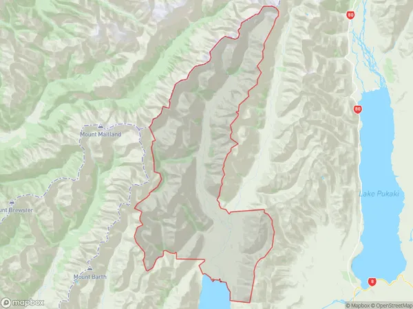
20 people live in Hopkins Valley, Twizel, NZHopkins Valley Suburb Area Map (Polygon)
Hopkins Valley Introduction
Hopkins Valley is a picturesque rural community located in the Twizel region of Canterbury, New Zealand. It is known for its stunning natural scenery, including rolling hills, lush green fields, and picturesque rivers. The area is popular with outdoor enthusiasts, with many opportunities for hiking, cycling, and fishing. The community has a strong agricultural heritage, with a variety of farms and vineyards producing a range of products. Hopkins Valley is also home to a number of historic buildings, including the Twizel Hotel and the Old Church Hall.Region
Major City
Suburb Name
Hopkins ValleyHopkins Valley Area Map (Street)
Local Authority
Mackenzie District, Waitaki DistrictFull Address
Hopkins Valley, Mackenzie District, Waitaki District,Address Type
Locality in Town TwizelHopkins Valley Suburb Map (Satellite)
Country
Main Region in AU
CanterburyHopkins Valley Region Map
Coordinates
0,0 (latitude/longitude)Distances
The distance from Hopkins Valley, Twizel, Mackenzie District, Waitaki District to NZ Top 10 Cities