Glentanner Area, Glentanner Postcode(7946) & Map in Glentanner
Glentanner Area, Glentanner Postcode(7946) & Map in Glentanner, Mackenzie District, New Zealand
Glentanner, Mackenzie District, New Zealand
Glentanner Area (estimated)
157.3 square kilometersGlentanner Population (estimated)
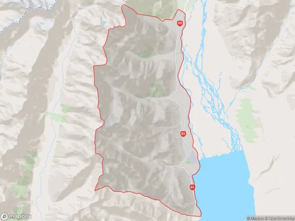
12 people live in Glentanner, Canterbury, NZGlentanner Suburb Area Map (Polygon)
Glentanner Introduction
Glentanner is a small rural township in the Canterbury region of New Zealand, located 12 kilometers south of Twizel. It is known for its scenic rural surroundings, including the Glentanner Park and the Glentanner River. The township has a population of around 1,000 people and is home to a variety of businesses and services, including a primary school, a post office, and a convenience store.Region
Major City
Suburb Name
GlentannerOther Name(s)
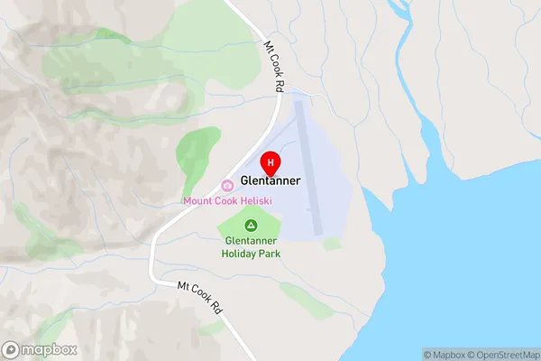
Birch Hill, Huxley Gorge, Mount Cook National ParkGlentanner Area Map (Street)
Local Authority
Mackenzie DistrictFull Address
Glentanner, Mackenzie District, New ZealandAddress Type
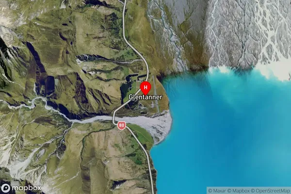
Locality in Town TwizelGlentanner Suburb Map (Satellite)
Country
Main Region in AU
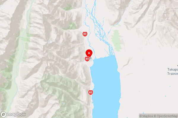
CanterburyGlentanner Region Map
Coordinates
-43.9115734,170.1250885 (latitude/longitude)Distances
The distance from Glentanner, Twizel, Mackenzie District to NZ Top 10 Cities