Glenbrook Area, Glenbrook Postcode(2681) & Map in Glenbrook
Glenbrook Area, Glenbrook Postcode(2681) & Map in Glenbrook, Waitaki District, New Zealand
Glenbrook, Waitaki District, New Zealand
Glenbrook Postcodes
Glenbrook Area (estimated)
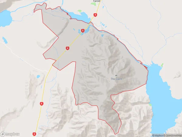
170.1 square kilometersGlenbrook Population (estimated)
21 people live in Glenbrook, Franklin, NZGlenbrook Suburb Area Map (Polygon)
Glenbrook Introduction
Glenbrook is a suburb of Auckland, New Zealand. It is located in the Waitakere City district and is known for its rural atmosphere and picturesque homes. The area has a variety of recreational facilities, including parks, golf courses, and walking trails, and is popular with families and retirees.Region
Major City
Suburb Name
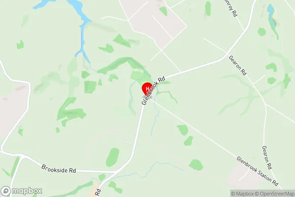
GlenbrookGlenbrook Area Map (Street)
Local Authority
Waitaki DistrictFull Address
Glenbrook, Waitaki District, New ZealandAddress Type
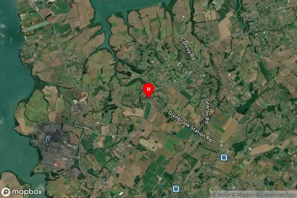
Locality in Town TwizelGlenbrook Suburb Map (Satellite)
Country
Main Region in AU
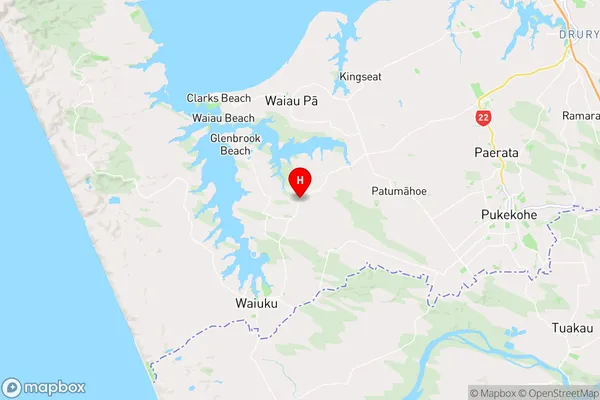
AucklandGlenbrook Region Map
Coordinates
-37.1926213,174.7602215 (latitude/longitude)Distances
The distance from Glenbrook, Twizel, Waitaki District to NZ Top 10 Cities