Totara Peak Area, Totara Peak Postcode(7999) & Map in Totara Peak
Totara Peak Area, Totara Peak Postcode(7999) & Map in Totara Peak, Waitaki District, New Zealand
Totara Peak, Waitaki District, New Zealand
Totara Peak Postcodes
Totara Peak Area (estimated)
111.3 square kilometersTotara Peak Population (estimated)
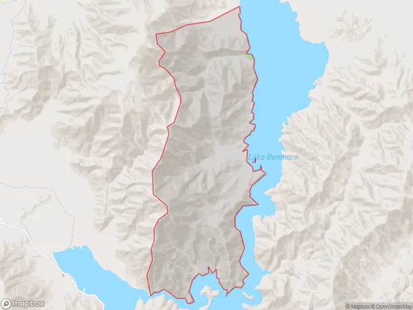
5 people live in Totara Peak, Canterbury, NZTotara Peak Suburb Area Map (Polygon)
Totara Peak Introduction
Totara Peak is a mountain located in the Twizel region of Canterbury, New Zealand. It is part of the Southern Alps and stands at an elevation of 1,778 meters (5,833 feet). The mountain is popular with hikers and climbers and offers stunning views of the surrounding area. The mountain is named after the totara tree, which is native to New Zealand and is found in the area around the peak.Region
Major City
Suburb Name
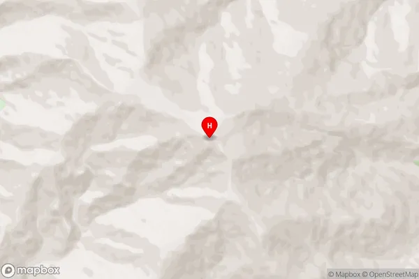
Totara PeakTotara Peak Area Map (Street)
Local Authority
Waitaki DistrictFull Address
Totara Peak, Waitaki District, New ZealandAddress Type
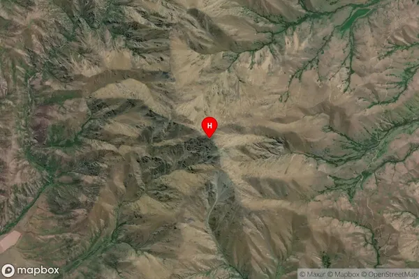
Locality in Town TwizelTotara Peak Suburb Map (Satellite)
Country
Main Region in AU
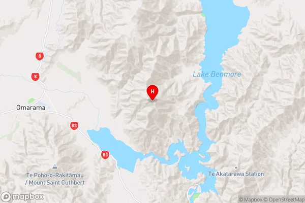
CanterburyTotara Peak Region Map
Coordinates
-44.4819676,170.1332645 (latitude/longitude)Distances
The distance from Totara Peak, Twizel, Waitaki District to NZ Top 10 Cities