Twizel Area, Twizel Postcode(7901) & Map in Twizel
Twizel Area, Twizel Postcode(7901) & Map in Twizel, Mackenzie District, New Zealand
Twizel, Mackenzie District, New Zealand
Twizel Area (estimated)
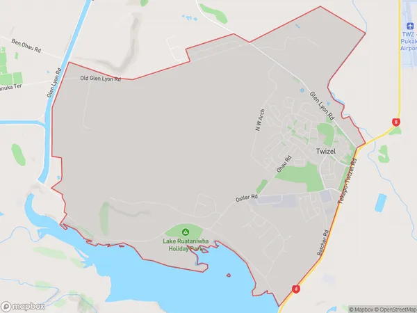
24.4 square kilometersTwizel Population (estimated)
1771 people live in Twizel, Canterbury, NZTwizel Suburb Area Map (Polygon)
Twizel Introduction
Twizel is a small town in Canterbury, New Zealand, located on the banks of the Mackenzie River. It is known for its scenic surroundings, including the Twizel Lake and the Mount Cook National Park. The town has a population of around 1,500 people and is a popular stopover for tourists traveling to the Southern Alps.Region
Major City
Suburb Name
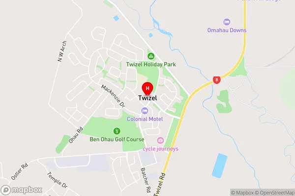
TwizelTwizel Area Map (Street)
Local Authority
Mackenzie DistrictFull Address
Twizel, Mackenzie District, New ZealandAddress Type
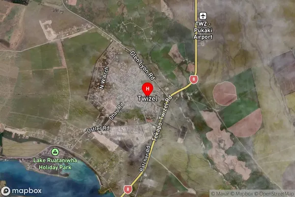
Suburb in Town TwizelTwizel Suburb Map (Satellite)
Country
Main Region in AU
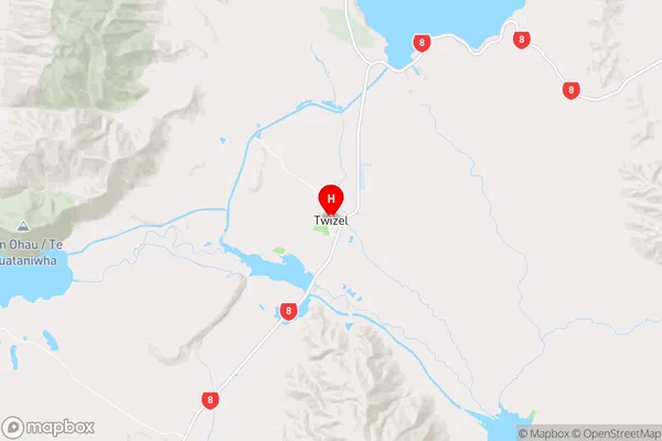
CanterburyTwizel Region Map
Coordinates
-44.257483,170.0994145 (latitude/longitude)Distances
The distance from Twizel, Twizel, Mackenzie District to NZ Top 10 Cities