Westland Suburbs & Region, Westland Map & Postcodes in Westland, West Coast
Westland Postcodes, Westland ZipCodes, Westland , Westland West Coast, Westland Suburbs, Westland Region, Westland Map, Westland Area
Westland Region (Westland National Park Region)
Westland Suburbs
Westland is a district place type in West Coast, NZ. It contains 16 suburbs or localities.Westland district
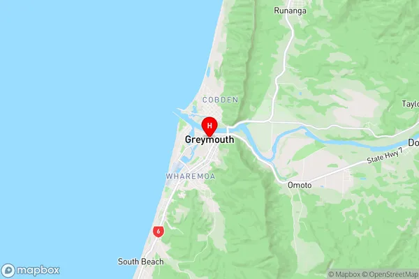
WestlandWestland Region Map
Westland Introduction
Westland is a district on the West Coast of New Zealand's South Island. It is known for its rugged landscape, including the Franz Josef Glacier and the Fox and Franz Josef Glaciers. The area is also home to a variety of wildlife, including kea, seals, and mountain lions. Westland is a popular destination for tourists and outdoor enthusiasts, with many hiking and skiing trails and opportunities for wildlife viewing. The district is also home to several small towns, including Hokitika and Greymouth.Westland Region
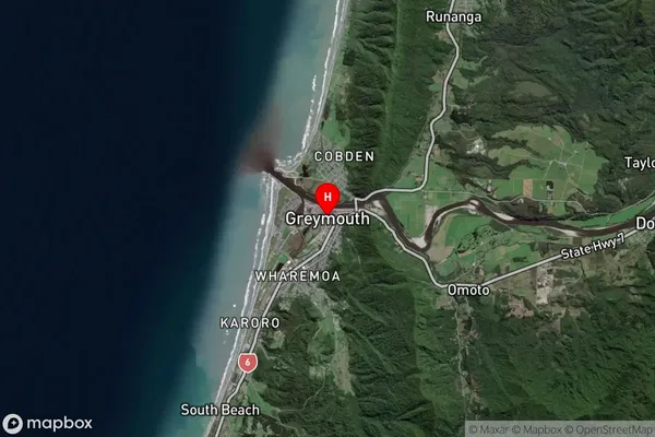
Westland Satellite Map
Full Address
Westland, West CoastWestland Coordinates
-42.4499469,171.2079875 (Latitude / Longitude)Westland Map in NZ
NZ Island
South IslandCountry
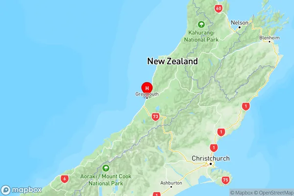
Westland Area Map (Polygon)
Not available for nowName
Westland National Park/Tai Poutini National ParkAdditional Name
Westland National ParkLocal Authority
Westland District
Westland Suburbs (Sort by Population)
Westland National Park/Tai Poutini National Park also known as Westland National Park. Westland National Park/Tai Poutini National Park suburb has around
-1.2 square
kilometers.There are more than 43 people (estimated)
live in Westland National Park/Tai Poutini National Park, , West Coast, New Zealand.
Westland Suburbs (Sort in alphabetical)
Bruce Bay
Fox Glacier
Franz Josef Glacier
Haast
Harihari
Hokitika
Jackson Bay
Kaniere
Kokatahi
Kumara
Okarito
Otira
Ross
Westland Area
Westland Surrounds
Whataroa