Kumara Suburbs & Region, Kumara Map & Postcodes in Kumara, Westland, West Coast
Kumara Postcodes, Kumara ZipCodes, Kumara , Kumara West Coast, Kumara Suburbs, Kumara Region, Kumara Map, Kumara Area
Kumara Region
Kumara Suburbs
Kumara is a city place type in Westland, West Coast, NZ. It contains 2 suburbs or localities.Kumara district
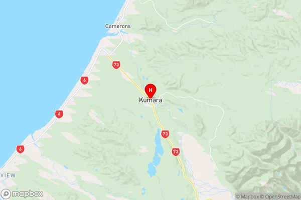
WestlandKumara Region Map
Kumara Introduction
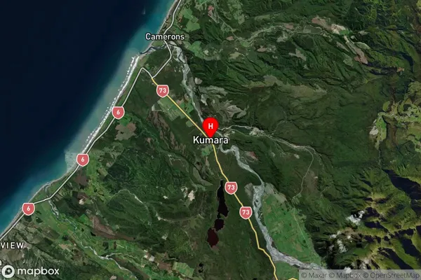
Kumara is a small town on the West Coast of New Zealand's South Island. It is well-known for its stunning natural surroundings, including the Kumara Mountain Range, which is a popular destination for hiking and tramping. The town also has a rich cultural heritage, with a strong Maori population and a number of historic buildings. Kumara is located on State Highway 3, approximately 30 minutes from the town of Greymouth and 2 hours from Christchurch.Kumara Region
Kumara Satellite Map
Full Address
Kumara, Westland, West CoastKumara Coordinates
-42.62987,171.186915 (Latitude / Longitude)Kumara Map in NZ
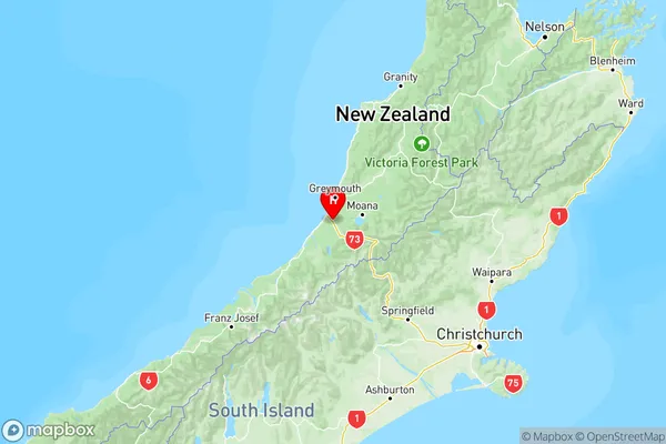
NZ Island
South IslandCountry