Turiwhate Area, Turiwhate Postcode & Map in Turiwhate
Turiwhate Area, Turiwhate Postcode & Map in Turiwhate, Westland District, New Zealand
Turiwhate, Westland District, New Zealand
Turiwhate Area (estimated)
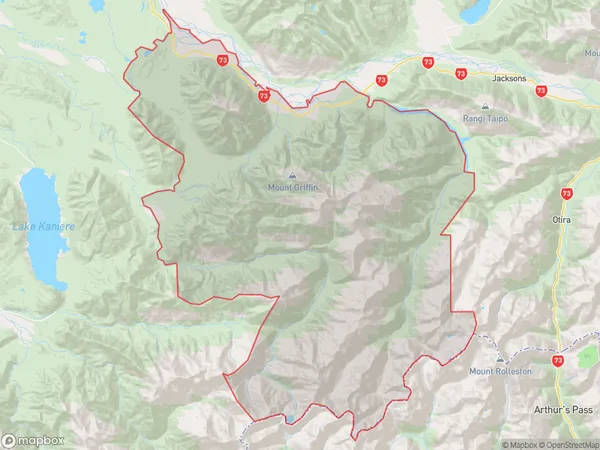
448.3 square kilometersTuriwhate Population (estimated)
19 people live in Turiwhate, West Coast, NZTuriwhate Suburb Area Map (Polygon)
Turiwhate Introduction
Turiwhate is a small rural community on the West Coast of New Zealand's South Island. It is known for its stunning natural beauty, including the iconic Turiwhate Falls. The area is popular with tourists and outdoor enthusiasts who enjoy hiking, mountain biking, and fishing. The community has a small school, a post office, and a general store.Region
Major City
Suburb Name
TuriwhateOther Name(s)
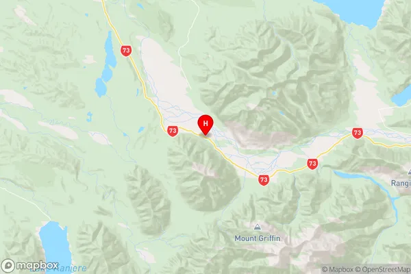
WainihinihiTuriwhate Area Map (Street)

Local Authority
Westland DistrictFull Address
Turiwhate, Westland District, New ZealandAddress Type
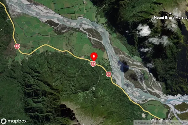
Locality in Major Locality KumaraTuriwhate Suburb Map (Satellite)
Country
Main Region in AU
West CoastTuriwhate Region Map
Coordinates
-42.7368267,171.2938217 (latitude/longitude)Distances
The distance from Turiwhate, Kumara, Westland District to NZ Top 10 Cities