Kaniere Suburbs & Region, Kaniere Map & Postcodes in Kaniere, Westland, West Coast
Kaniere Postcodes, Kaniere ZipCodes, Kaniere , Kaniere West Coast, Kaniere Suburbs, Kaniere Region, Kaniere Map, Kaniere Area
Kaniere Region
Kaniere Suburbs
Kaniere is a suburb place type in Westland, West Coast, NZ. It contains 0 suburbs or localities.Kaniere Postcodes
Kaniere district
WestlandKaniere Region Map
Kaniere Introduction
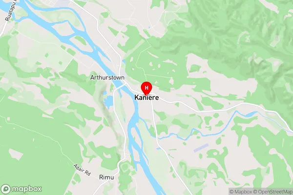
Kaniere is a small settlement on the West Coast of New Zealand's South Island. It is located in the Grey District and is known for its scenic surroundings, including the Kaniere Falls and the Kaniere River. The area is popular with outdoor enthusiasts and tourists, who enjoy hiking, fishing, and kayaking in the nearby natural attractions. The settlement has a small population of around 100 people and is surrounded by lush rainforests and rugged mountain terrain.Kaniere Region
Kaniere City
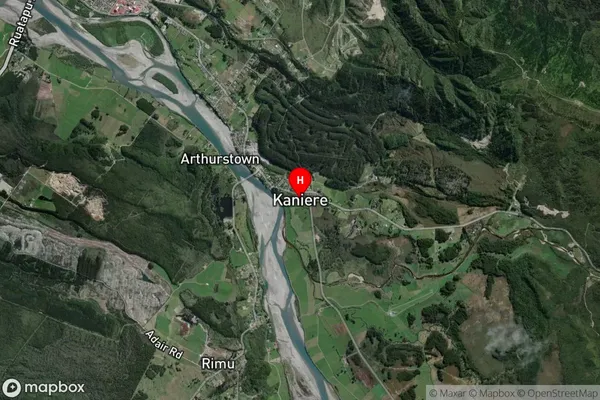
Kaniere Satellite Map
Full Address
Kaniere, Westland, West CoastKaniere Coordinates
-42.748812,171.008276 (Latitude / Longitude)Kaniere Map in NZ
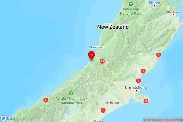
NZ Island
South IslandCountry
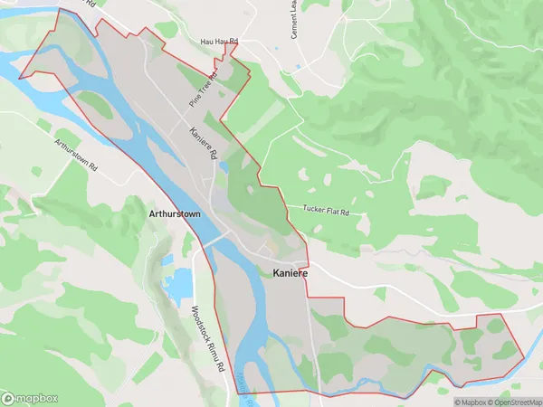
Kaniere Area Map (Polygon)
Name
KaniereAdditional Name
Local Authority
Westland District
Kaniere Suburbs (Sort by Population)
Kaniere suburb has around
6.4 square
kilometers.There are more than 457 people (estimated)
live in Kaniere, Hokitika, West Coast, New Zealand.