Kaniere Area, Kaniere Postcode(7842) & Map in Kaniere
Kaniere Area, Kaniere Postcode(7842) & Map in Kaniere, Westland District, New Zealand
Kaniere, Westland District, New Zealand
Kaniere Area (estimated)
6.4 square kilometersKaniere Population (estimated)
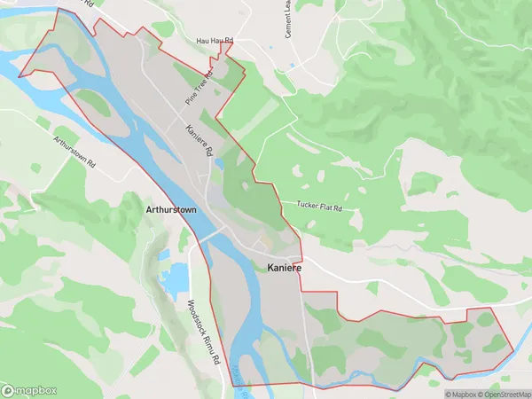
457 people live in Kaniere, West Coast, NZKaniere Suburb Area Map (Polygon)
Kaniere Introduction
Kaniere is a small rural community on the West Coast of New Zealand's South Island. It is known for its stunning natural scenery, including the Kaniere Falls and the Kaniere Forest Park. The community is home to a variety of wildlife, including native birds and the rare Kaniere red deer. Kaniere is also a popular destination for outdoor activities such as hiking, mountain biking, and fishing.Region
Major City
Suburb Name
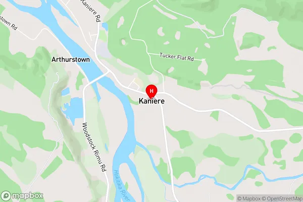
KaniereKaniere Area Map (Street)
Local Authority
Westland DistrictFull Address
Kaniere, Westland District, New ZealandAddress Type
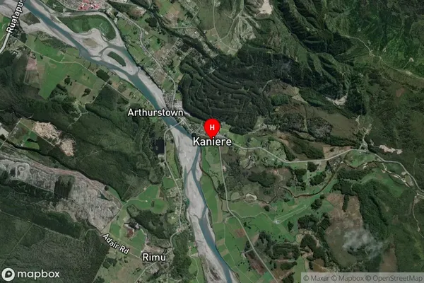
Suburb in Town HokitikaKaniere Suburb Map (Satellite)
Country
Main Region in AU
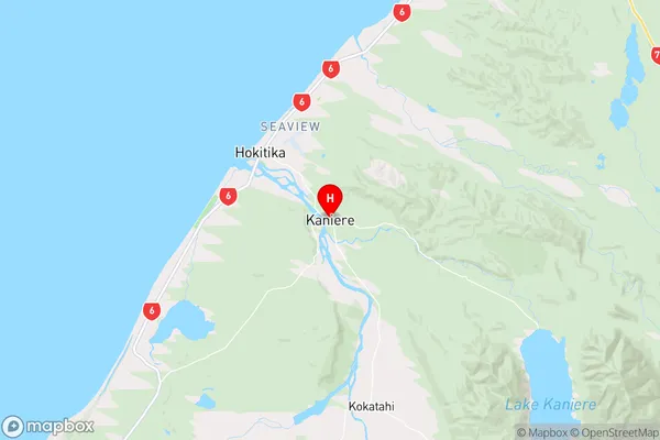
West CoastKaniere Region Map
Coordinates
-42.7488121,171.0082758 (latitude/longitude)Distances
The distance from Kaniere, Hokitika, Westland District to NZ Top 10 Cities