Okarito Suburbs & Region, Okarito Map & Postcodes in Okarito, Westland, West Coast
Okarito Postcodes, Okarito ZipCodes, Okarito , Okarito West Coast, Okarito Suburbs, Okarito Region, Okarito Map, Okarito Area
Okarito Region (The Forks Region)
Okarito Suburbs
Okarito is a suburb place type in Westland, West Coast, NZ. It contains 0 suburbs or localities.Okarito district
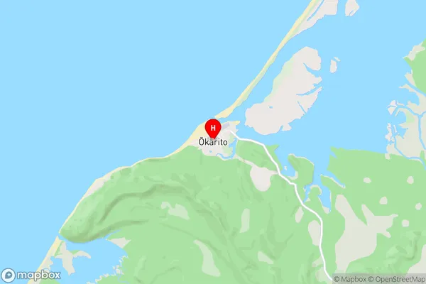
WestlandOkarito Region Map
Okarito Introduction
Okarito is a small settlement on the West Coast of New Zealand's South Island. It is located in the Grey District and is known for its scenic surroundings, including the Okarito Forest Park and the Okarito River. The settlement has a population of around 100 people and is surrounded by native forest and farmland. It is a popular destination for outdoor activities such as hiking, mountain biking, and fishing, and is also home to a number of wildlife species, including kea, tui, and kiwi.Okarito Region
Okarito City
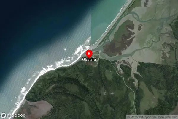
Okarito Satellite Map
Full Address
Okarito, Westland, West CoastOkarito Coordinates
-43.223549,170.162652 (Latitude / Longitude)Okarito Map in NZ
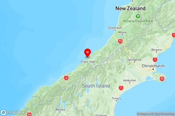
NZ Island
South IslandCountry
Okarito Area Map (Polygon)
Not available for nowName
OkaritoAdditional Name
The ForksLocal Authority
Westland District
Okarito Suburbs (Sort by Population)
Okarito also known as The Forks. Okarito suburb has around
-1.2 square
kilometers.There are more than 108 people (estimated)
live in Okarito, Whataroa, West Coast, New Zealand.