Whataroa Suburbs & Region, Whataroa Map & Postcodes in Whataroa, Westland, West Coast
Whataroa Postcodes, Whataroa ZipCodes, Whataroa , Whataroa West Coast, Whataroa Suburbs, Whataroa Region, Whataroa Map, Whataroa Area
Whataroa Region (Rotokino, Te Taho Region)
Whataroa Suburbs
Whataroa is a city place type in Westland, West Coast, NZ. It contains 2 suburbs or localities.Whataroa Postcodes
Whataroa district
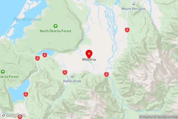
WestlandWhataroa Region Map
Whataroa Introduction
West Coast, New Zealand's Whataroa Island is a remote and picturesque location. It is well-known for its stunning natural scenery, including rugged cliffs, dense rainforests, and crystal-clear rivers. The island is home to a variety of wildlife, including the rare and endangered West Coast brown kiwi. The island also has a rich cultural history, with evidence of early Māori settlements and a historic stone fort. Visitors can explore the island by foot, bike, or boat, and there are several accommodation options available, including a lodge and a campground.Whataroa Region
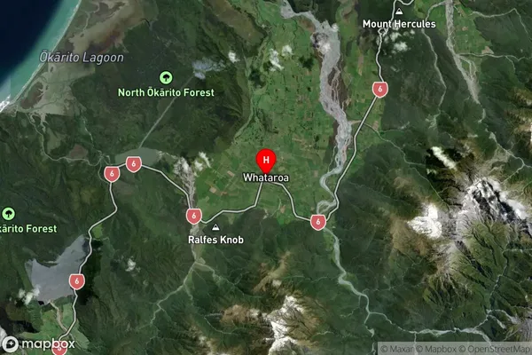
Whataroa Satellite Map
Full Address
Whataroa, Westland, West CoastWhataroa Coordinates
-43.260645,170.3616 (Latitude / Longitude)Whataroa Map in NZ
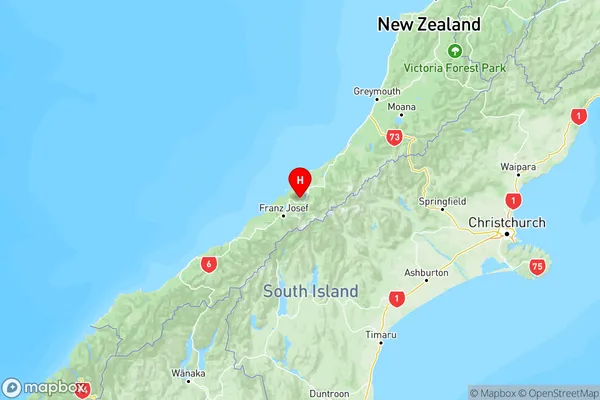
NZ Island
South IslandCountry
Whataroa Area Map (Polygon)
Not available for nowName
WhataroaAdditional Name
Rotokino, Te TahoLocal Authority
Westland District