Whataroa Area, Whataroa Postcode(3781) & Map in Whataroa
Whataroa Area, Whataroa Postcode(3781) & Map in Whataroa, Westland District, New Zealand
Whataroa, Westland District, New Zealand
Whataroa Postcodes
Whataroa Area (estimated)
-1.2 square kilometersWhataroa Population (estimated)
297 people live in Whataroa, Waikato, NZWhataroa Suburb Area Map (Polygon)
Not available for nowWhataroa Introduction
Whataroa is a small rural community in Waikato, New Zealand. It is located on State Highway 1, approximately 30 kilometers south of Hamilton. The area is known for its scenic views, including the Whataroa Forest and the Whataroa Plains. The community has a primary school, a post office, and a small supermarket. There are also several farms in the area, including sheep and beef farms.Region
Major City
Suburb Name
WhataroaOther Name(s)
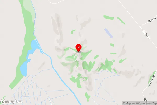
Rotokino, Te TahoWhataroa Area Map (Street)
Local Authority
Westland DistrictFull Address
Whataroa, Westland District, New ZealandAddress Type
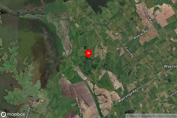
Locality in Major Locality WhataroaWhataroa Suburb Map (Satellite)
Country
Main Region in AU
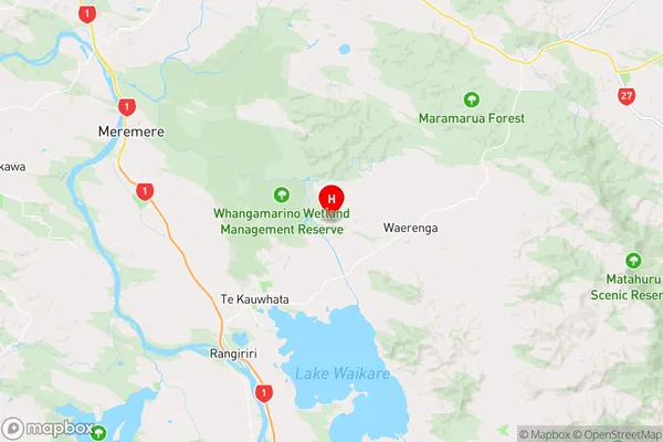
WaikatoWhataroa Region Map
Coordinates
-37.3647764,175.1944611 (latitude/longitude)Distances
The distance from Whataroa, Whataroa, Westland District to NZ Top 10 Cities