Okarito Area, Okarito Postcode & Map in Okarito
Okarito Area, Okarito Postcode & Map in Okarito, Westland District, New Zealand
Okarito, Westland District, New Zealand
Okarito Area (estimated)
-1.2 square kilometersOkarito Population (estimated)
108 people live in Okarito, West Coast, NZOkarito Suburb Area Map (Polygon)
Not available for nowOkarito Introduction
Okarito is a small rural community on the West Coast of New Zealand's South Island. It is located in the Whataroa District and is surrounded by stunning natural landscapes, including the Southern Alps and the West Coast National Park. The community has a population of around 100 people and is known for its peaceful atmosphere and friendly community. It is a popular destination for outdoor enthusiasts, with many opportunities for hiking, skiing, and fishing.Region
Major City
Suburb Name
Okarito (Maori Name: Ōkārito)Other Name(s)
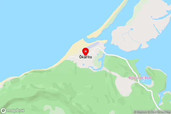
The ForksOkarito Area Map (Street)
Local Authority
Westland DistrictFull Address
Okarito, Westland District, New ZealandAddress Type
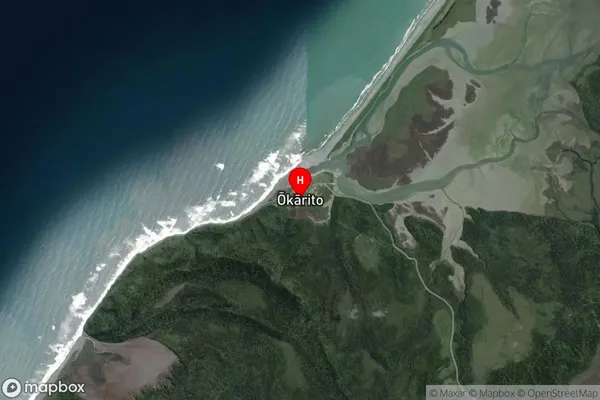
Locality in Major Locality WhataroaOkarito Suburb Map (Satellite)
Country
Main Region in AU
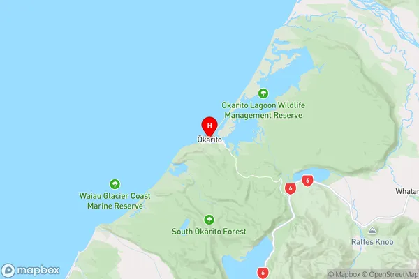
West CoastOkarito Region Map
Coordinates
-43.223549,170.162652 (latitude/longitude)Distances
The distance from Okarito, Whataroa, Westland District to NZ Top 10 Cities