Otira Suburbs & Region, Otira Map & Postcodes in Otira, Westland, West Coast
Otira Postcodes, Otira ZipCodes, Otira , Otira West Coast, Otira Suburbs, Otira Region, Otira Map, Otira Area
Otira Region
Otira Suburbs
Otira is a suburb place type in Westland, West Coast, NZ. It contains 0 suburbs or localities.Otira district
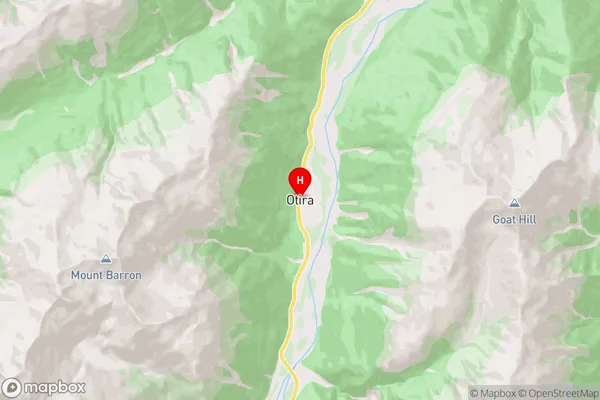
WestlandOtira Region Map
Otira Introduction
Otira is a small town on the West Coast of New Zealand's South Island. It is located in the Grey District and is known for its scenic surroundings, including the Otira Gorge and the Otira Viaduct. The town has a population of around 1,000 people and is a popular tourist destination. The area is also known for its mining history, with several historic mines and tunnels located nearby.Otira Region
Otira City
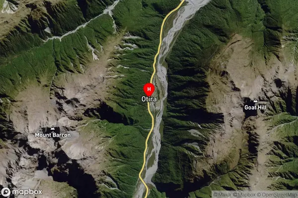
Otira Satellite Map
Full Address
Otira, Westland, West CoastOtira Coordinates
-42.829348,171.561377 (Latitude / Longitude)Otira Map in NZ

NZ Island
South IslandCountry
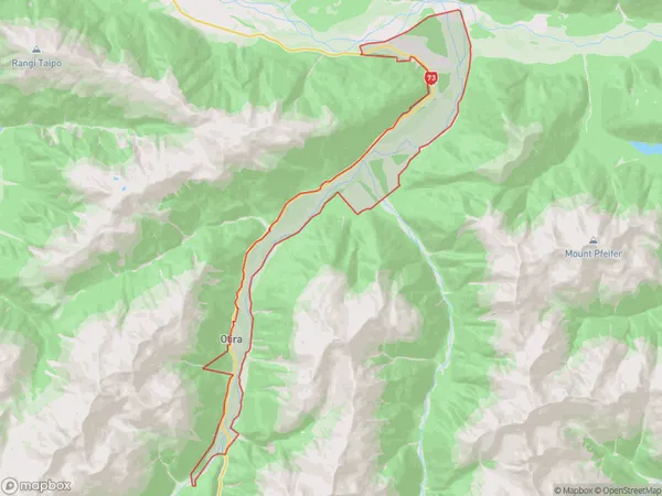
Otira Area Map (Polygon)
Name
OtiraAdditional Name
Local Authority
Westland District
Otira Suburbs (Sort by Population)
Otira suburb has around
13.0 square
kilometers.There are more than 26 people (estimated)
live in Otira, Kumara, West Coast, New Zealand.