Otira Area, Otira Postcode & Map in Otira
Otira Area, Otira Postcode & Map in Otira, Westland District, New Zealand
Otira, Westland District, New Zealand
Otira Area (estimated)
13.0 square kilometersOtira Population (estimated)
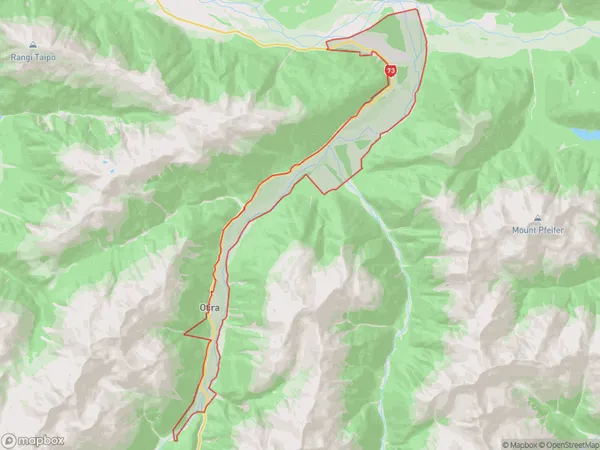
26 people live in Otira, West Coast, NZOtira Suburb Area Map (Polygon)
Otira Introduction
Otira is a small rural community on the West Coast of New Zealand's South Island. It is located in the Grey District and is known for its scenic surroundings, including the Otira Gorge and the Otira Viaduct. The community has a population of around 1,000 people and is home to a variety of businesses and services, including a hotel, a supermarket, and a primary school. Otira is also a popular destination for outdoor enthusiasts, with many hiking and cycling trails nearby.Region
Major City
Suburb Name
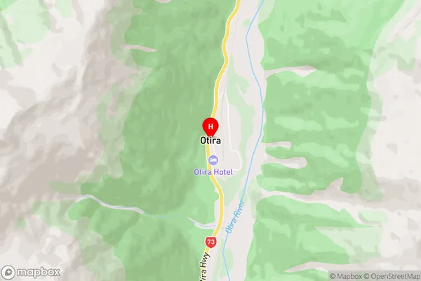
OtiraOtira Area Map (Street)
Local Authority
Westland DistrictFull Address
Otira, Westland District, New ZealandAddress Type
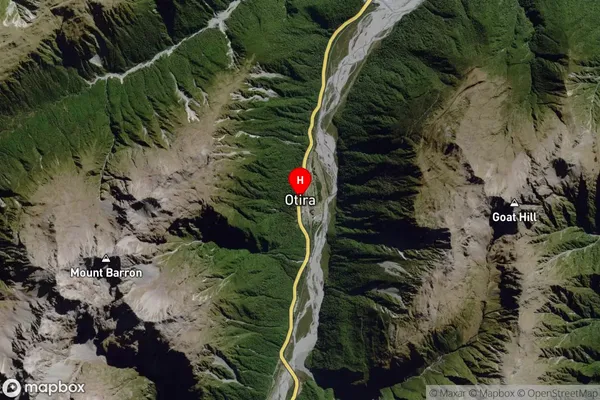
Locality in Major Locality InchbonnieOtira Suburb Map (Satellite)
Country
Main Region in AU
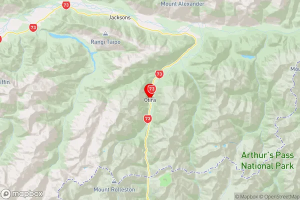
West CoastOtira Region Map
Coordinates
-42.8293483,171.5613766 (latitude/longitude)Distances
The distance from Otira, Inchbonnie, Westland District to NZ Top 10 Cities