Collingwood Suburbs & Region, Collingwood Map & Postcodes in Collingwood, Tasman, Nelson & Bays
Collingwood Postcodes, Collingwood ZipCodes, Collingwood , Collingwood Tasman, Collingwood Suburbs, Collingwood Region, Collingwood Map, Collingwood Area
Collingwood Region (Ferntown, Gibbstown, Opou, Waikato Region)
Collingwood Suburbs
Collingwood is a city place type in Tasman, Nelson & Bays, NZ. It contains 0 suburbs or localities.Collingwood Postcodes
Collingwood district
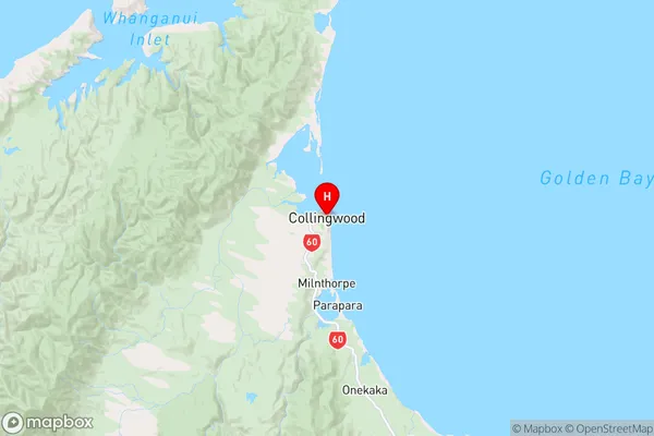
TasmanCollingwood Region Map
Collingwood Introduction
Collingwood is a small town in the Tasman District of New Zealand's South Island. It is located on the northern bank of the Ngarua River, approximately 20 kilometers south of Nelson. The town was founded in 1853 and named after the English town of Collingwood. It is a popular tourist destination and is known for its historic buildings, including the Collingwood Courthouse, which is listed as a "Category I" historic place by the Heritage New Zealand. The town also has a variety of recreational facilities, including a golf course, a swimming pool, and a sports stadium.Collingwood Region
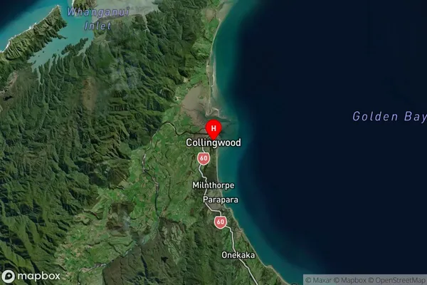
Collingwood Satellite Map
Full Address
Collingwood, Tasman, Nelson & BaysCollingwood Coordinates
-40.68202,172.684431 (Latitude / Longitude)Collingwood Map in NZ
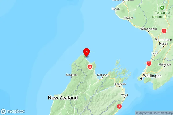
NZ Island
South IslandCountry
Collingwood Area Map (Polygon)
Not available for nowName
CollingwoodAdditional Name
Ferntown, Gibbstown, Opou, WaikatoLocal Authority
Tasman District
Collingwood Suburbs (Sort by Population)
Collingwood also known as Ferntown, Gibbstown, Opou, Waikato. Collingwood suburb has around
-1.2 square
kilometers.There are more than 436 people (estimated)
live in Collingwood, Collingwood, Tasman, New Zealand.