Collingwood Area, Collingwood Postcode(7073) & Map in Collingwood
Collingwood Area, Collingwood Postcode(7073) & Map in Collingwood, Tasman District, New Zealand
Collingwood, Tasman District, New Zealand
Collingwood Area (estimated)
-1.2 square kilometersCollingwood Population (estimated)
436 people live in Collingwood, Tasman, NZCollingwood Suburb Area Map (Polygon)
Not available for nowCollingwood Introduction
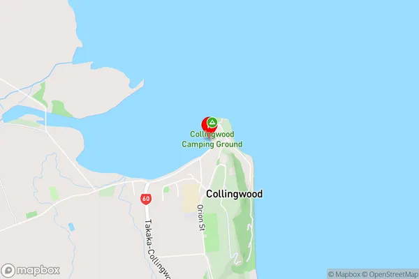
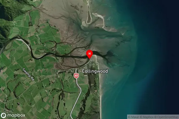
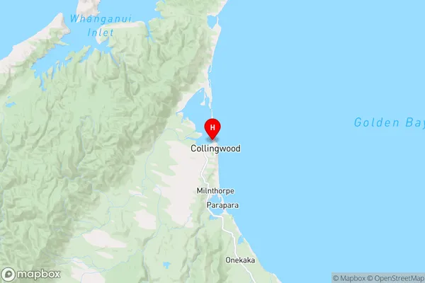
Collingwood is a small township on the eastern shore of Tasman Bay, located in the Tasman District of New Zealand's South Island. It is known for its scenic location, historic buildings, and popular recreational activities such as hiking, skiing, and fishing. The town has a population of around 2,000 people and is surrounded by stunning natural scenery, including the Mount Arthur Conservation Area and the Tasman National Park.Region
Major City
Suburb Name
CollingwoodOther Name(s)
Ferntown, Gibbstown, Opou, WaikatoCollingwood Area Map (Street)
Local Authority
Tasman DistrictFull Address
Collingwood, Tasman District, New ZealandAddress Type
Locality in Town CollingwoodCollingwood Suburb Map (Satellite)
Country
Main Region in AU
TasmanCollingwood Region Map
Coordinates
-40.676952,172.6813755 (latitude/longitude)Distances
The distance from Collingwood, Collingwood, Tasman District to NZ Top 10 Cities