Kaihoka Area, Kaihoka Postcode & Map in Kaihoka
Kaihoka Area, Kaihoka Postcode & Map in Kaihoka, Tasman District, New Zealand
Kaihoka, Tasman District, New Zealand
Kaihoka Area (estimated)
26.0 square kilometersKaihoka Population (estimated)
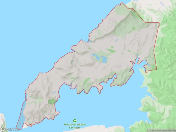
12 people live in Kaihoka, Tasman, NZKaihoka Suburb Area Map (Polygon)
Kaihoka Introduction
Kaihoka is a small rural community in the Tasman District of New Zealand's South Island. It is located on State Highway 6, approximately 20 kilometers south of Collingwood and 125 kilometers north of Nelson. The area is known for its scenic beauty, including the Kaihoka Gorge and the surrounding forests. The community has a primary school, a post office, and a small supermarket. Kaihoka is a popular destination for outdoor enthusiasts, with many hiking and biking trails in the area.Region
Major City
Suburb Name
KaihokaOther Name(s)
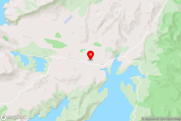
MeroitiKaihoka Area Map (Street)
Local Authority
Tasman DistrictFull Address
Kaihoka, Tasman District, New ZealandAddress Type
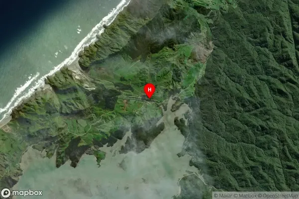
Locality in Town CollingwoodKaihoka Suburb Map (Satellite)
Country
Main Region in AU
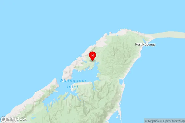
TasmanKaihoka Region Map
Coordinates
-40.5541166,172.6168935 (latitude/longitude)Distances
The distance from Kaihoka, Collingwood, Tasman District to NZ Top 10 Cities