Pakawau Area, Pakawau Postcode & Map in Pakawau
Pakawau Area, Pakawau Postcode & Map in Pakawau, Tasman District, New Zealand
Pakawau, Tasman District, New Zealand
Pakawau Area (estimated)
-1.2 square kilometersPakawau Population (estimated)
135 people live in Pakawau, Tasman, NZPakawau Suburb Area Map (Polygon)
Not available for nowPakawau Introduction
Pakawau is a small rural community in the Tasman District of New Zealand's South Island. It is located on the banks of the Pakawau River, approximately 20 kilometers south of Collingwood and 100 kilometers north of Nelson. The area is known for its scenic beauty, with rolling hills, lush forests, and picturesque farmland. The community has a population of around 200 people and is home to a primary school, a post office, a general store, and a community hall.Region
Major City
Suburb Name
Pakawau (Maori Name: Pākawau)Other Name(s)
Seaford, Te RaePakawau Area Map (Street)
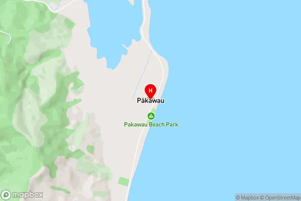
Local Authority
Tasman DistrictFull Address
Pakawau, Tasman District, New ZealandAddress Type
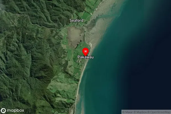
Locality in Town CollingwoodPakawau Suburb Map (Satellite)
Country
Main Region in AU
TasmanPakawau Region Map
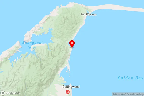
Coordinates
-40.5980351,172.6872316 (latitude/longitude)Distances
The distance from Pakawau, Collingwood, Tasman District to NZ Top 10 Cities