Rockville Area, Rockville Postcode & Map in Rockville
Rockville Area, Rockville Postcode & Map in Rockville, Tasman District, New Zealand
Rockville, Tasman District, New Zealand
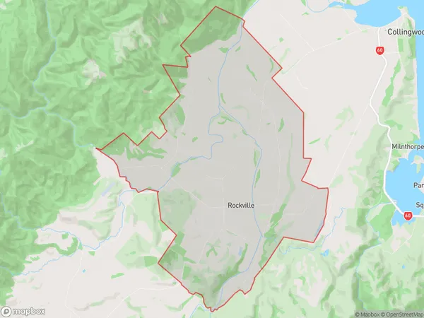
Rockville Area (estimated)
39.1 square kilometersRockville Population (estimated)
241 people live in Rockville, Tasman, NZRockville Suburb Area Map (Polygon)
Rockville Introduction
Rockville is a small rural community in the Collingwood district of Tasmania, Australia. It is located in the Tyndall Forest and is surrounded by beautiful natural scenery. The community has a primary school, a post office, a general store, and a community hall. Rockville is a popular tourist destination and is known for its hiking and mountain biking trails. The nearby Mount Wellington is a popular climbing spot, and the area is also home to a variety of wildlife, including wallabies, echidnas, and platypuses.Region
Major City
Suburb Name
RockvilleOther Name(s)
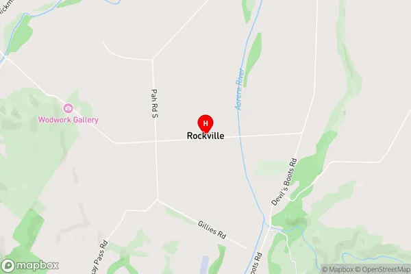
AorereRockville Area Map (Street)
Local Authority
Tasman DistrictFull Address
Rockville, Tasman District, New ZealandAddress Type
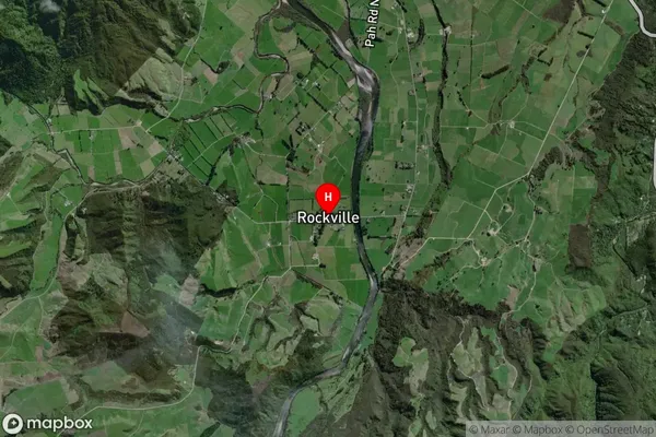
Locality in Town CollingwoodRockville Suburb Map (Satellite)
Country
Main Region in AU
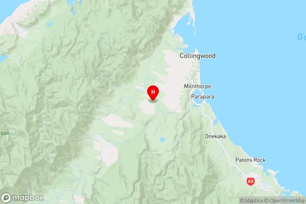
TasmanRockville Region Map
Coordinates
-40.7292682,172.6243056 (latitude/longitude)Distances
The distance from Rockville, Collingwood, Tasman District to NZ Top 10 Cities