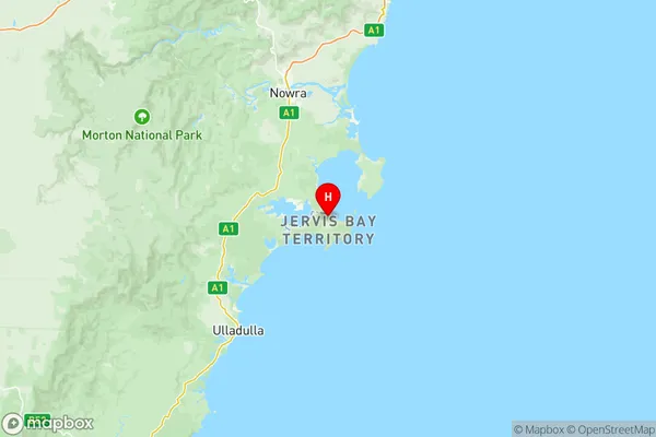
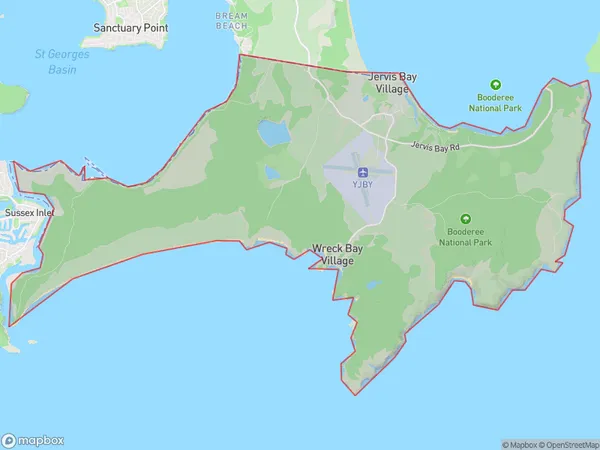
Jervis Bay Suburbs & Region, Jervis Bay Map & Postcodes
Jervis Bay Suburbs & Region, Jervis Bay Map & Postcodes in Jervis Bay, Other Territories, AU
Jervis Bay Region
Region Name
Jervis Bay (, AU)Jervis Bay Area
67.23 square kilometers (67.23 ㎢)Postal Codes
2540 (In total, there are 1 postcodes in Jervis Bay.)Jervis Bay Introduction
Jervis Bay is a large bay and oceanic inlet located in the Australian state of New South Wales. It is situated approximately 250 kilometers south of Sydney and 350 kilometers northeast of Canberra. The bay is known for its stunning natural beauty, including crystal-clear waters, white sandy beaches, and diverse marine life. It is a popular destination for swimming, snorkeling, kayaking, and fishing, and is home to a number of endangered species, including the humpback whale. The bay is also a significant conservation area, with several national parks and protected areas located within its boundaries.Australia State
City or Big Region
District or Regional Area
Jervis Bay Region Map

Jervis Bay Postcodes / Zip Codes
Jervis Bay Suburbs
Callala Bay Currarong
Ettrema Sassafras Budawang
Huskisson Vincentia
St Georges Basin Erowal Bay
Sussex Inlet Berrara
Tomerong Wandandian Woollamia
Ulladulla Region
Jervis Bay
Norfolk Island
Jervis Bay full address
Jervis Bay, Other Territories, Australia, SaCode: 90103Country
Jervis Bay, Other Territories, Australia, SaCode: 90103
Jervis Bay Suburbs & Region, Jervis Bay Map & Postcodes has 10 areas or regions above, and there are 69 Jervis Bay suburbs below. The sa3code for the Jervis Bay region is 90103. Its latitude and longitude coordinates are -35.1325,150.701.
Jervis Bay Suburbs & Localities
1. Currarong
2. Ettrema
3. St Georges Basin
4. Twelve Mile Peg
5. Woollamia
6. Wreck Bay
7. Basin View
8. Beecroft Peninsula
9. Bolong
10. Burrier
11. Callala Beach
12. Comerong Island
13. Greenwell Point
14. Hmas Albatross
15. Hyams Beach
16. Jervis Bay
17. Kinghorne
18. Mundamia
19. Myola
20. Old Erowal Bay
21. Orient Point
22. Sussex Inlet
23. Tallowal
24. Tomerong
25. Bamarang
26. Barringella
27. Boolijah
28. Callala Bay
29. Cambewarra
30. Comberton
31. Cudmirrah
32. Culburra Beach
33. Erowal Bay
34. Falls Creek
35. Hmas Creswell
36. Illaroo
37. Mayfield
38. Meroo Meadow
39. Mondayong
40. Moollattoo
41. Nowra Hill
42. Nowra Naval Po
43. Numbaa
45. Pyree
46. Sanctuary Point
47. Terara
48. Tullarwalla
49. Watersleigh
50. Wollumboola
51. Yerriyong
52. Berrara
54. Bream Beach
55. Browns Mountain
56. Brundee
57. Buangla
58. Cambewarra Village
59. Huskisson
60. Jerrawangala
61. Longreach
62. Swanhaven
63. Tapitallee
64. Vincentia
65. Wandandian
66. Worrigee
67. Worrowing Heights
68. Wrights Beach
69. Yalwal
