Comerong Island Area, Comerong Island Postcode(2540) & Map in Comerong Island, Southern Highlands and Shoalhaven, NSW
Comerong Island Area, Comerong Island Postcode(2540) & Map in Comerong Island, Southern Highlands and Shoalhaven, NSW, AU, Postcode: 2540
Comerong Island, Culburra Beach, Shoalhaven, Southern Highlands and Shoalhaven, New South Wales, Australia, 2540
Comerong Island Postcode
Area Name
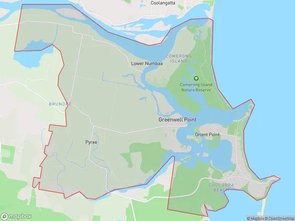
Comerong IslandComerong Island Suburb Area Map (Polygon)

Comerong Island Introduction
Comerong Island is located in the Shoalhaven region of New South Wales, Australia. It is a popular tourist destination known for its pristine beaches, crystal-clear waters, and diverse marine life. The island is home to a number of endangered species, including the dugong and the hawksbill turtle. Visitors can enjoy activities such as snorkeling, fishing, and hiking. The island also has a number of historic sites, including a lighthouse and a convict prison.State Name
City or Big Region
District or Regional Area
Suburb Name
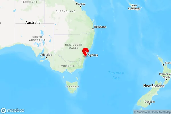
Comerong Island Region Map

Country
Main Region in AU
R3Coordinates
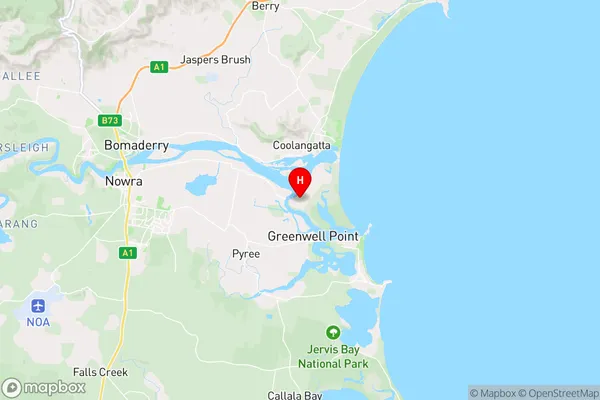
-34.884763,150.7216008 (latitude/longitude)Comerong Island Area Map (Street)

Longitude
150.61644Latitude
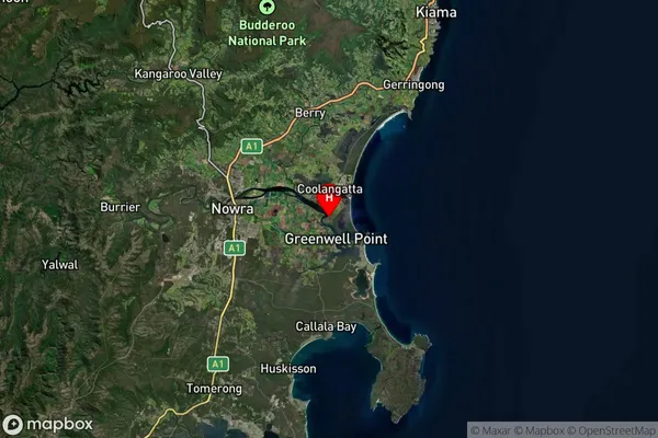
-34.8634830Comerong Island Suburb Map (Satellite)

Distances
The distance from Comerong Island, Southern Highlands and Shoalhaven, NSW to AU Greater Capital CitiesSA1 Code 2011
11401127414SA1 Code 2016
11401127414SA2 Code
114011274SA3 Code
11401SA4 Code
114RA 2011
2RA 2016
2MMM 2015
3MMM 2019
3Charge Zone
N2LGA Region
KiamaLGA Code
14400Electorate
Gilmore