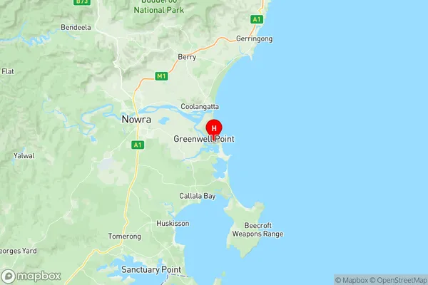
Culburra Beach Suburbs & Region, Culburra Beach Map & Postcodes
Culburra Beach Suburbs & Region, Culburra Beach Map & Postcodes in Culburra Beach, Jervis Bay, Other Territories, NSW, AU
Culburra Beach Region
Region Name
Culburra Beach (NSW, AU)Culburra Beach Area
76.4 square kilometers (76.4 ㎢)Postal Codes
2540 (In total, there are 1 postcodes in Culburra Beach.)Culburra Beach Introduction
Culburra Beach is a stunning coastal town located in the Shoalhaven region of New South Wales, Australia. It is known for its pristine beaches, crystal-clear waters, and stunning natural scenery. The town is surrounded by the Culburra Headland National Park, which offers a range of outdoor activities, including hiking, camping, and fishing. Culburra Beach is a popular destination for tourists and locals alike, with a variety of accommodation options, restaurants, and cafes. It is also home to the Culburra Surf Lifesaving Club, which is a vital part of the local community.Australia State
City or Big Region
Greater Capital City
Rest of NSW (1RNSW)District or Regional Area
Suburb Name
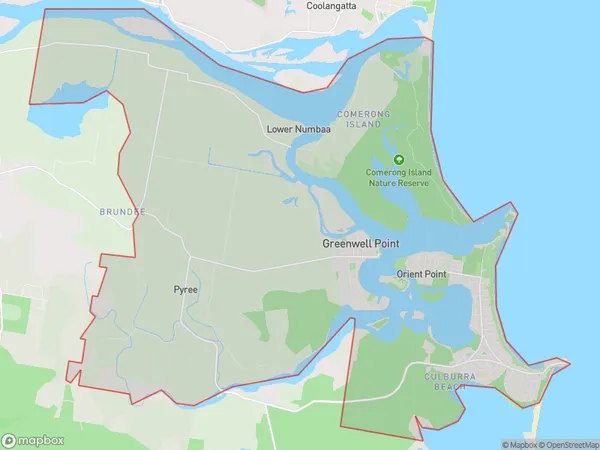
Culburra Beach Region Map

Culburra Beach Postcodes / Zip Codes
Culburra Beach Suburbs
Culburra Beach full address
Culburra Beach, Jervis Bay, Other Territories, New South Wales, NSW, Australia, SaCode: 114011274Country
Culburra Beach, Jervis Bay, Other Territories, New South Wales, NSW, Australia, SaCode: 114011274
Culburra Beach Suburbs & Region, Culburra Beach Map & Postcodes has 0 areas or regions above, and there are 7 Culburra Beach suburbs below. The sa2code for the Culburra Beach region is 114011274. Its latitude and longitude coordinates are -34.9108,150.75. Culburra Beach area belongs to Australia's greater capital city Rest of NSW.
Culburra Beach Suburbs & Localities
1. Comerong Island
2. Greenwell Point
3. Orient Point
4. Culburra Beach
5. Mayfield
6. Numbaa
7. Pyree
