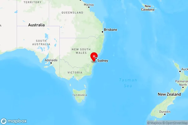
Bolong Area, Bolong Postcode(2540) & Map in Bolong, Southern Highlands and Shoalhaven, NSW
Bolong Area, Bolong Postcode(2540) & Map in Bolong, Southern Highlands and Shoalhaven, NSW, AU, Postcode: 2540
Bolong, North Nowra - Bomaderry, Shoalhaven, Southern Highlands and Shoalhaven, New South Wales, Australia, 2540
Bolong Postcode
Area Name
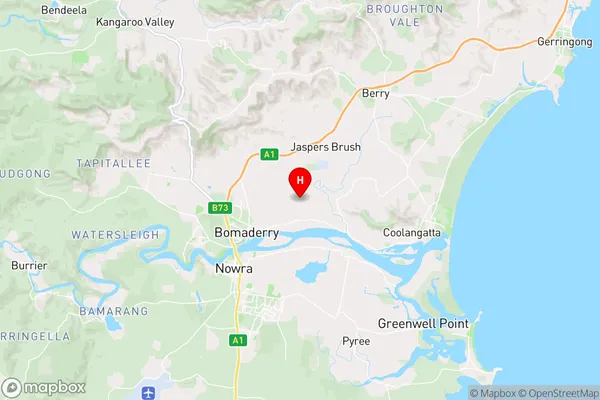
BolongBolong Suburb Area Map (Polygon)

Bolong Introduction
Bolong is a small rural town in the Southern Highlands and Shoalhaven regions of NSW, Australia. It is situated in the Macarthur Valley and is known for its beautiful countryside, historic buildings, and vibrant community. The town has a population of around 1,500 people and is surrounded by picturesque forests, waterfalls, and farmland. Bolong is a popular destination for outdoor enthusiasts, with many walking and hiking trails, picnic spots, and fishing spots in the surrounding area. The town also has a local museum and a community hall that hosts a variety of events and activities throughout the year.State Name
City or Big Region
District or Regional Area
Suburb Name
Bolong Region Map

Country
Main Region in AU
R3Coordinates
-34.8355517,150.6459285 (latitude/longitude)Bolong Area Map (Street)

Longitude
150.61644Latitude
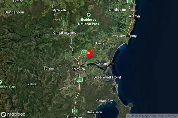
-34.8634830Bolong Suburb Map (Satellite)

Distances
The distance from Bolong, Southern Highlands and Shoalhaven, NSW to AU Greater Capital CitiesSA1 Code 2011
11401127708SA1 Code 2016
11401127708SA2 Code
114011277SA3 Code
11401SA4 Code
114RA 2011
2RA 2016
2MMM 2015
3MMM 2019
3Charge Zone
N2LGA Region
KiamaLGA Code
14400Electorate
Gilmore