Tallowal Area, Tallowal Postcode(2540) & Map in Tallowal, Southern Highlands and Shoalhaven, NSW
Tallowal Area, Tallowal Postcode(2540) & Map in Tallowal, Southern Highlands and Shoalhaven, NSW, AU, Postcode: 2540
Tallowal, Ettrema - Sassafras - Budawang, Shoalhaven, Southern Highlands and Shoalhaven, New South Wales, Australia, 2540
Tallowal Postcode
Area Name
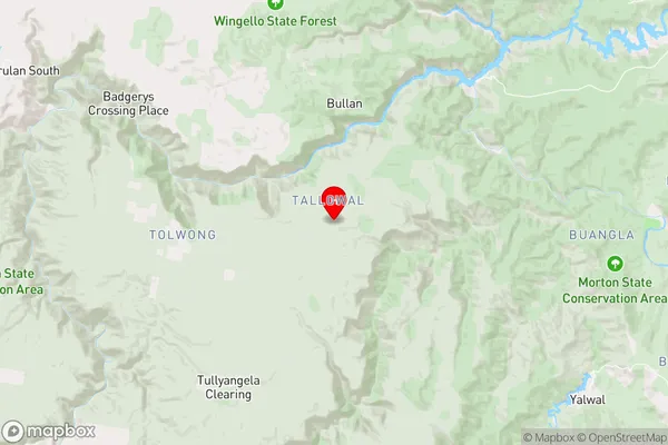
TallowalTallowal Suburb Area Map (Polygon)

Tallowal Introduction
Tallowal, Southern Highlands and Shoalhaven, NSW, AU, is a region known for its natural beauty, including the Shoalhaven River, the Southern Highlands, and the Tallowal Valley. It is a popular destination for outdoor activities such as hiking, biking, and skiing.State Name
City or Big Region
District or Regional Area
Suburb Name
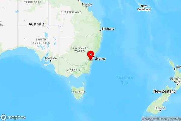
Tallowal Region Map
Country
Main Region in AU
R3Coordinates
-34.842,150.228 (latitude/longitude)Tallowal Area Map (Street)
Longitude
150.2276536Latitude
-34.84196601Tallowal Elevation
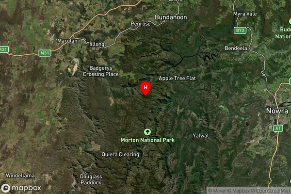
about 619.70 meters height above sea level (Altitude)Tallowal Suburb Map (Satellite)
Distances
The distance from Tallowal, Southern Highlands and Shoalhaven, NSW to AU Greater Capital CitiesSA1 Code 2011
11401127501SA1 Code 2016
11401127501SA2 Code
114011275SA3 Code
11401SA4 Code
114RA 2011
2RA 2016
2MMM 2015
5MMM 2019
5Charge Zone
N2LGA Region
ShoalhavenLGA Code
16950Electorate
Gilmore