Palmerston Suburbs & Region, Palmerston Map & Postcodes
Palmerston Suburbs & Region, Palmerston Map & Postcodes in Palmerston, Darwin, NT, AU
Palmerston Region
Region Name
Palmerston (NT, AU)Palmerston Area
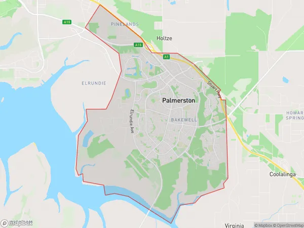
52.53 square kilometers (52.53 ㎢)Palmerston Suburb Area Map (Polygon)
Palmerston Introduction
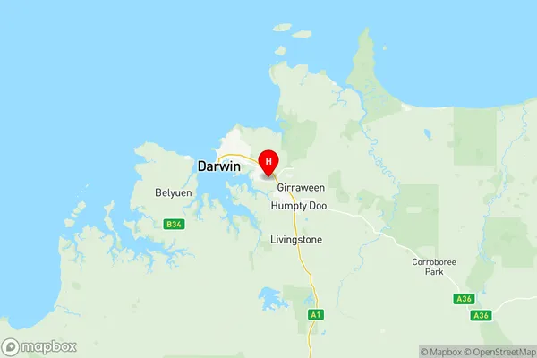
Palmerston is a suburb of Darwin in the Northern Territory, Australia. It is located in the City of Darwin local government area and is about 5 kilometers from the Darwin central business district. Palmerston was named after the British Prime Minister, Lord Palmerston, and was established in 1869. It is a popular residential area due to its proximity to the Darwin CBD, beaches, and recreational facilities. The suburb has a variety of housing options, including apartments, units, and houses, and is home to a diverse population. Palmerston is also known for its vibrant cultural scene, with a number of museums, galleries, and theaters located within the suburb.Australia State
City or Big Region
District or Regional Area
Palmerston Region Map
Palmerston Suburbs
Durack Marlow Lagoon
Palmerston North
Palmerston South
Rosebery Bellamack
Palmerston full address
Palmerston, Darwin, Northern Territory, NT, Australia, SaCode: 70104Country
Palmerston, Darwin, Northern Territory, NT, Australia, SaCode: 70104
Palmerston Suburbs & Region, Palmerston Map & Postcodes has 10 areas or regions above, and there are 0 Palmerston suburbs below. The sa3code for the Palmerston region is 70104. Its latitude and longitude coordinates are -12.4987,130.993.