Woodroffe Suburbs & Region, Woodroffe Map & Postcodes
Woodroffe Suburbs & Region, Woodroffe Map & Postcodes in Woodroffe, Palmerston, Darwin, NT, AU
Woodroffe Region
Region Name
Woodroffe (NT, AU)Woodroffe Area
1.6 square kilometers (1.6 ㎢)Postal Codes
0830 (In total, there are 1 postcodes in Woodroffe.)Woodroffe Introduction
Woodroffe is a locality in the Northern Territory of Australia. It is located about 106 kilometers southeast of Darwin in the Litchfield Shire. The town is named after John Woodroffe, who was a pastoralist in the area in the late 19th century. The population of Woodroffe is around 100 people, and the town has a primary school, a post office, and a general store. The surrounding area is known for its agricultural productivity, with cotton and cattle being the main crops grown. The town is also home to a number of historic buildings, including the Woodroffe Telegraph Station, which was built in 1887.Australia State
City or Big Region
Greater Capital City
Greater Darwin (7GDAR)District or Regional Area
Suburb Name
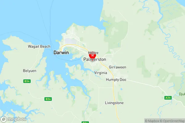
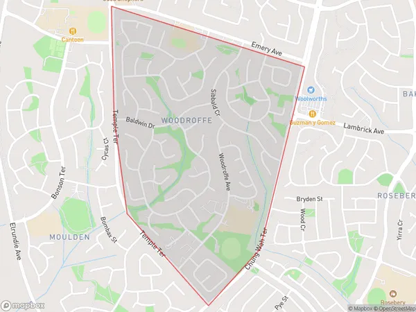
Woodroffe Region Map

Woodroffe Postcodes / Zip Codes
Woodroffe Suburbs
Woodroffe full address
Woodroffe, Palmerston, Darwin, Northern Territory, NT, Australia, SaCode: 701041044Country
Woodroffe, Palmerston, Darwin, Northern Territory, NT, Australia, SaCode: 701041044
Woodroffe Suburbs & Region, Woodroffe Map & Postcodes has 0 areas or regions above, and there are 1 Woodroffe suburbs below. The sa2code for the Woodroffe region is 701041044. Its latitude and longitude coordinates are -12.4995,130.981. Woodroffe area belongs to Australia's greater capital city Greater Darwin.
Woodroffe Suburbs & Localities
1. Woodroffe
